
📜 At a glance
- Who they were
- A non-agricultural Native American kingdom that dominated Southwest Florida
- Territory
- Charlotte Harbor south through the Ten Thousand Islands, with influence reaching toward the Florida Keys
- Economy
- Fish, oysters & shellfish from the estuary — no farming required
- Legacy
- Shell-built islands & mounds at Key Marco, Chokoloskee & Dismal Key
- Decline
- Collapsed in the early-to-mid 1700s from European disease & raids
Who Were the Calusa?
Long before Ponce de León ever spotted this coast, the Calusa already ruled it. They were a Native American nation that dominated Southwest Florida for centuries, tracing roots back to the earlier Glades-culture peoples who had fished these same waters for thousands of years. By the time Europeans arrived, the Calusa had built one of the most powerful and sophisticated societies in pre-Columbian North America — a paramount chiefdom whose reach stretched from Charlotte Harbor south through the Ten Thousand Islands, with influence extending toward the Florida Keys.
A single paramount chief, or cacique, sat atop a strict hierarchy and collected tribute — fish, shellfish, hides, even captives — from dozens of subordinate villages along the coast. The Calusa had a fearsome reputation as warriors and skilled dugout-canoe navigators, and they made that clear almost immediately: when Juan Ponce de León returned to this coast in 1521 to establish a colony, Calusa warriors drove him off and wounded him in the fighting. He died of that wound in Cuba soon after. Spain would spend the next two centuries trying, and mostly failing, to bring the Calusa under control.
A Kingdom Built on Fish, Not Farms
Here’s what makes the Calusa remarkable to archaeologists worldwide: they built a complex, stratified kingdom — nobles, commoners, tribute, standing armies — without planting a single crop. Almost every complex society in human history got there by farming a surplus. The Calusa got there by fishing one instead. The estuary stretching from Estero Bay down through the Ten Thousand Islands was, and still is, one of the most productive fisheries in North America — a tangle of mangrove shoreline, seagrass flats and passes where mullet ran in the millions and oysters, clams and scallops grew thick on every bar. The Calusa built weirs and corrals in the shallows, wove nets from palm fiber, and timed everything to the tides, pulling in enough protein to feed a population historians estimate ran into the tens of thousands. It’s the same water our fishing charters work today, and the fish are still following the same tides the Calusa read a thousand years ago.
The Shellworks: Engineered Islands
All those oyster, whelk and clam shells had to go somewhere, and the Calusa didn’t just discard them — they built with them. Over generations, shell was stacked, packed and terraced into house platforms, canals, plazas, canoe basins and defensive ridges, slowly raising entire islands out of the shallows. The grandest example was Mound Key in Estero Bay, believed to be Calos, the Calusa capital, where archaeologists using LiDAR have mapped an engineered canal system — a “water court” — cut straight through the shellwork so canoes could move through the heart of the settlement. Down here in our waters, the same building technique shows up on a smaller scale: shell ridges around Goodland, Marco Island and the outer islands of the Ten Thousand Islands are, in many cases, Calusa-built high ground, not natural land at all. You can read more about how these mounds worked on our shell mounds page.
The 1896 Dig That Changed Everything
For a long time, historians assumed a non-farming society couldn’t produce fine art. Then, in 1896, archaeologist Frank Hamilton Cushing led the Pepper-Hearst Expedition into the muck at Court House Bay on Marco Island and found otherwise. The waterlogged, oxygen-starved mud had preserved wooden artifacts that almost never survive Florida’s climate: painted masks, animal effigies, ceremonial tablets, and the piece that made headlines around the world, a carved wooden feline figure now known as the Key Marco Cat. The find rewrote what archaeologists thought was possible for a hunter-fisher-gatherer culture, and it put Marco Island’s Calusa history on the map for good. You can dig deeper on our Key Marco Cat page and see where it all happened on our Key Marco destination guide.
Where to See Calusa Sites Today
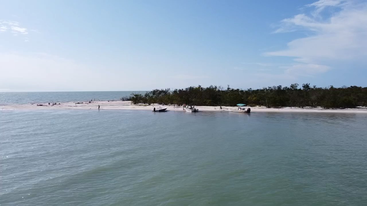
Most of what the Calusa left behind isn’t in a museum case — it’s still sitting where they built it, out in the islands, reachable only by boat. Dismal Key, a quiet shell-mound island tucked into the Ten Thousand Islands, has been a Calusa site, a trading post and a hermit’s home over the centuries, and it’s still ringed by shell today. Chokoloskee Island itself is essentially one enormous Calusa shell mound — the entire town, including the historic Smallwood Store, sits on ground the Calusa built up over hundreds of years. And the water and backcountry around Marco Island and Goodland are laced with smaller shell ridges, remnants of a civilization that shaped this coastline before there was a coastline to develop. This is why we say the museum is the water: no highway gets you to most of it, only a boat does. Our Ten Thousand Islands boat tours run right past this history every trip.
| Site | What You’ll See | How to Get There |
|---|---|---|
| Key Marco (Old Marco) | Site of the 1896 dig that unearthed the Key Marco Cat | Marco Island, by land or water |
| Chokoloskee Island | An entire island built from a Calusa shell mound, later home to the Smallwood Store | By boat or the Chokoloskee causeway |
| Dismal Key | A quiet shell-mound island once used as a trading post | Boat only, Ten Thousand Islands |
| Goodland shell ridges | Shell ridges and midden remnants along the water’s edge | By boat from Goodland |
Why the Calusa Disappeared
A kingdom that survived two centuries of Spanish pressure didn’t fall to a single battle — it fell to disease and raids the Calusa had no way to fight off. European contact brought smallpox and other illnesses the Calusa had no immunity to, and epidemics tore through their villages starting in the 1600s. At the same time, English colonists in Carolina armed northern tribes like the Yamasee and Creek and sent them raiding south for enslaved captives, and the weakened Calusa towns became targets. By the early-to-mid 1700s, the population that had once ruled this entire coast had collapsed. When Spain ceded Florida to Britain in 1763, the last organized groups of Calusa reportedly evacuated by boat to Cuba, and the nation as it had existed for a thousand years was effectively gone. What they left behind, though, is still here — and it’s still worth seeing. Head back to our Local History hub for the rest of this coast’s story, from the Calusa’s fall through the settlers, storms and conservation fights that followed.