
🗺️ At a glance
- Location
- Marco Island’s southeast shoulder, between Caxambas Pass and Goodland
- West shore
- Private docks, seawalls and waterfront homes on Marco’s residential canals
- East & south shore
- Uninhabited mangrove keys and oyster bars — no roads, no docks
- Wildlife
- Bottlenose dolphins, ospreys and wading birds working the flats
- Access
- Boat-only past the developed edge; empty shells only in Collier County
- Good for
- Calm, protected water most days — dolphin-watching close to the marina
What Is Barfield Bay?
Barfield Bay is the broad, sheltered stretch of water wrapping Marco Island’s southeast shoulder, sitting between the developed canals near town and the open water toward Caxambas Pass. It’s one of several interior bays — along with Factory Bay and Smokehouse Bay closer to town — that give Marco Island its shape, but Barfield sits at the outer edge, the last stretch of genuinely calm water before the Ten Thousand Islands take over. Our captains use it as both a running lane and a destination: a way to slip out of Marco’s canals and, within a few minutes, be watching dolphins work a school of mullet against a mangrove shoreline that hasn’t changed much in a hundred years.
The name isn’t tied to a landmark you’ll spot from the water — it’s simply part of the historic naming that stuck to this stretch of coast generations ago, the same way Caxambas and Goodland carry names older than the bridges that eventually reached them. What matters more than the etymology is the geography: Barfield Bay is a genuine hinge point, the place where Marco Island’s residential side gives way to the roadless islands and passes that define the rest of our run south toward the Ten Thousand Islands.
Two Very Different Shorelines
What makes Barfield Bay worth knowing by name, rather than just running through it on the way somewhere else, is how sharply its two shorelines contrast. The west edge is Marco Island proper — seawalls, private docks, boat lifts, and the backs of waterfront homes, the kind of view that tells you civilization is a five-minute run away. Cross the bay, though, and the east and south edges turn wild almost immediately: uninhabited mangrove keys, oyster bars that show at low tide, and tidal creeks that dead-end in nothing but more mangroves. There are no docks over there, no roads, no houses — just the same kind of country that stretches all the way toward Everglades City.
That contrast is the whole appeal for us. You get the comfort of a protected bay — genuinely calm water most days, sheltered from Gulf chop — with a front-row seat to real, undeveloped Ten Thousand Islands habitat, all within a short run of the marina. It’s a bay where a family on a private charter can be watching dolphins work bait against an oyster bar fifteen minutes after leaving the dock, without ever crossing open Gulf water to get there.
| West shoreline | East & south shoreline | |
|---|---|---|
| Development | Private docks, seawalls, waterfront homes | None — uninhabited mangrove keys |
| Bottom & shoreline | Dredged residential canals | Natural tidal flats and oyster bars |
| Access | By boat from Marco Island canals | Boat-only — no docks or landings |
| What you’ll typically see | Docked boats, homes, occasional dockside wildlife | Dolphins, wading birds, undisturbed mangrove shoreline |
Wildlife You’ll See Here
Barfield Bay is a working feeding ground, not a showpiece, and that’s exactly why our captains like running it. Bottlenose dolphins live in these waters year-round, and the bay’s oyster bars and shallow flats concentrate the mullet and pinfish they hunt, so it’s a spot where you’ll often catch dolphins actively feeding rather than just passing through. We never promise a sighting — wild animals don’t punch a clock — but Barfield’s mix of structure and bait makes it one of the more consistently productive stretches close to Marco Island.
Birds are the other draw. Ospreys hunt the bay regularly, folding in from overhead to take a fish off the surface, and you’ll usually spot wading birds — herons, egrets, sometimes a roseate spoonbill working the exposed oyster bars at low tide — along the undeveloped east shoreline. It’s a quieter kind of wildlife-watching than a dedicated run out toward the Gulf, but it happens close enough to the marina that it doesn’t cost you much running time to get there, which is part of why we like showing it to guests on shorter charters.
Where Barfield Bay Leads
Geographically, Barfield Bay is a connector, not a dead end. Run east and south out of the bay and you thread toward Caxambas Pass, the historic clam-cannery inlet that opens Marco Island’s south end to the Gulf. Keep going and the back-bay route carries you toward Goodland, the old fishing village that marks the real gateway into the Ten Thousand Islands. In other words, Barfield Bay is the first leg of the same water our captains run on longer trips toward the wildlife refuge and Everglades City — it just happens to start a few minutes from a Marco Island dock.
That makes it a useful reference point if you’re trying to picture Marco Island’s geography from a chart or a satellite photo. If Marco’s town side is canals and bridges, Barfield Bay is where that grid stops and the estuary starts — the seam between the island you’d recognize from a real estate listing and the roadless Ten Thousand Islands our captains actually spend most of their days running.
How to Experience Barfield Bay by Boat
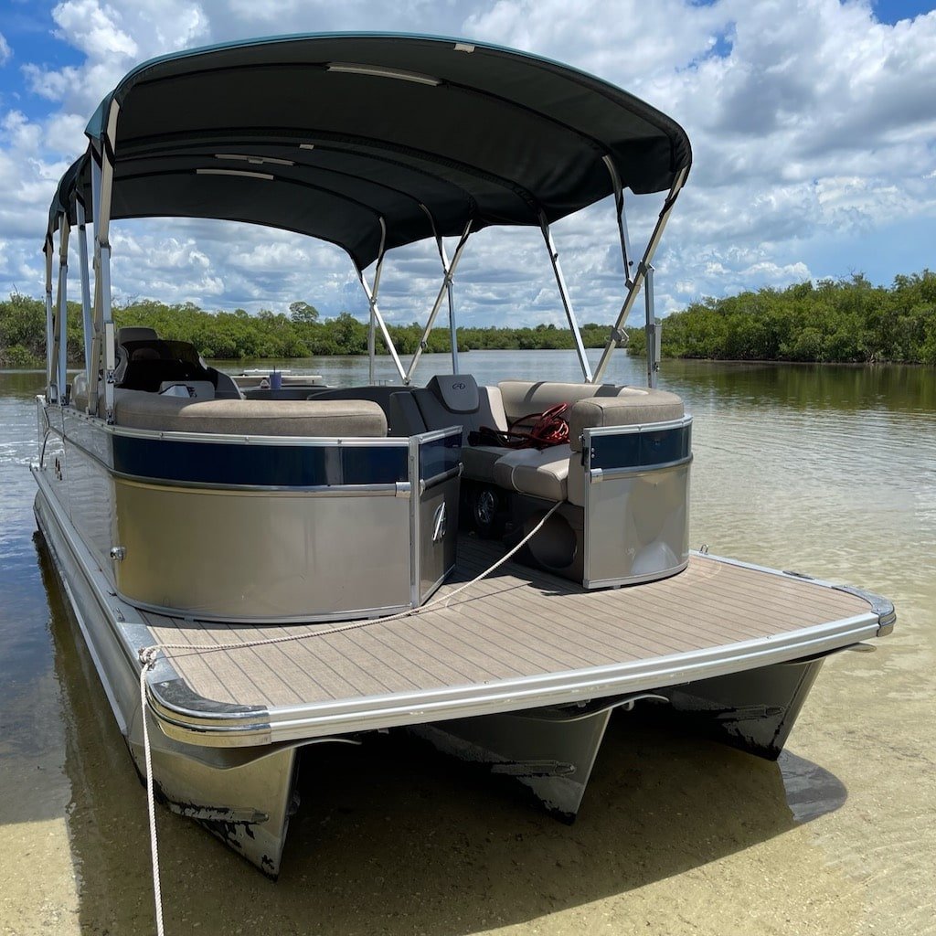
There’s no public boat ramp or kayak launch on Barfield Bay’s wild side, and that’s part of why it stays undisturbed — it’s genuinely boat-only. The practical way to see it is aboard one of our tours or a private charter, running the bay on the way out to the passes and back-bay wildlife-watching grounds. Our dolphin tours regularly work water like this — sheltered, bait-rich, close to Marco Island — and a private charter lets you linger over an oyster bar or a feeding pod of dolphins as long as you want, without a fixed stop set by someone else’s itinerary.
If you’re staying on Marco Island and want a shorter run than a full trip toward Everglades City, Barfield Bay is a good honest answer to "what’s actually worth seeing close to the dock." It’s calm enough for nervous first-timers, wild enough on its far shore to feel like real Florida, and it sets up the rest of the Ten Thousand Islands geography — Caxambas, Goodland, and beyond — so you leave with a real sense of where you are, not just a boat ride you enjoyed.