
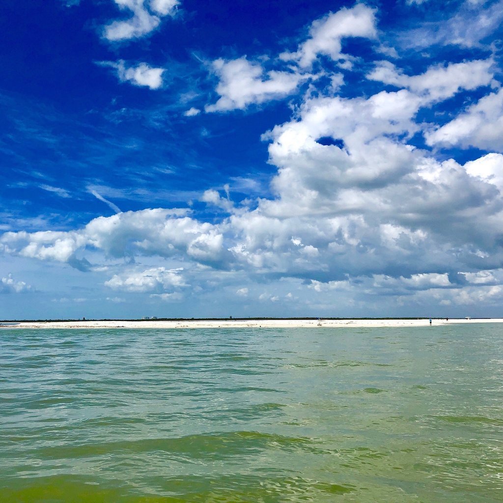
First light at Coon Key looks nothing like the chart suggests. What reads as one green blob of mangrove on a map is actually a maze of cuts, oyster bars and skinny back bays that only make sense once you have idled through them at half tide more mornings than you can count. That gap between the map and the real place is the whole reason this destinations page exists — not just to name the islands and passes, but to tell you which ones are worth the run today, and which only work at a certain stage of tide or with the wind from a particular quarter.
We sort the whole island chain into a rough working map before we ever choose a route: outside passes for a building south wind, sheltered back bays when a front pushes through from the north, and open sandbars only once the tide has actually pulled back far enough to expose them. Cape Romano’s shoals fish and shell differently depending on which side of the sandbar the current happens to be running that hour. A stretch that sits glassy and productive at nine in the morning can turn into an uncomfortable chop by early afternoon once the sea breeze fills in off the Gulf.
Villages and sights get the same treatment as the wild islands. Goodland at sunset works because its docks face the right direction for the light, and the water there stays calm even when the open Gulf outside has some texture to it. We favor Rookery Bay on a falling tide in the cooler months, since that is when manatees and wading birds tend to gather in its quieter creeks — never a guarantee, just a pattern worth trusting. Every stop on this page earns its place because a captain has actually idled past it and watched how it behaves.
When the wind will not cooperate with the plan we had in mind, we lean on the fact that this whole chain is really a set of alternates strung together rather than one fixed route. A pass too rough to cross gets swapped for a protected run along the lee side of the next island over; a sandbar that never uncovered gets traded for a back bay that stays productive no matter the tide. That flexibility is why this page reads as a network of destinations instead of a single itinerary, and why our itineraries guide leans on it so heavily.
None of this is a promise about what you will see on any single crossing — the Gulf does not deal in promises, and we would rather tell you the truth than oversell a passage. What we can promise is that the route is never arbitrary. Every turn toward a pass, a shoal or a back bay is a small decision built from mornings spent watching exactly this stretch of water move, and it is the same decision-making we bring whether you are aboard a private charter or one of our regular tours out of Marco Island.