
🗺️ At a glance
- What it was
- A fishing & clam-canning village on south Marco Island
- Built on
- A Calusa-era Caxambas shell mound
- Name origin
- Often traced to a Spanish/Calusa term tied to water — the “wells” idea
- What survives
- Caxambas Pass & Caxambas Park keep the name on the map
- Today
- A residential south-Marco area & popular boat launch
The name and the mound it stands on
Like much of Marco Island, Caxambas began with the Calusa. The south end of the island held one of their shell mounds — generations of discarded oyster, clam and whelk shell piled into high ground that stayed dry above the tide. When later settlers arrived, that elevated, well-drained mound was the natural place to build. So the village inherited not just a location but a foundation thousands of years in the making.
The name “Caxambas” itself is old, usually traced to a Spanish-Calusa root connected to water or wells — fitting for a settlement that lived and died by the tide. However you say it (locals land on “kah-SHAM-bus”), it's one of those names that outlived the place it described.
The clam-canning village
By the late 1800s and into the early 1900s, Caxambas was a real working community. The big clam beds of the surrounding flats fed a clam cannery, and the settlement ran on commercial fishing and shellfishing the way so much of this coast once did. Families lived on the water, boats came and went, and the village had the same hardscrabble, salt-cured character as Goodland down the road — another old fishing settlement that, unlike Caxambas, is still very much alive today.
But the 20th century reshaped Marco fast. As the island was platted and developed into the community you see now, the old village faded into it. The fish houses and cannery gave way to homes and canals, and Caxambas slipped from a place you lived to a name on a sign.
What remains today
The village is gone, but the name is stubborn. It lives on in two places everyone on the south end knows.
| Name today | What it is |
|---|---|
| Caxambas Pass | The Gulf inlet at Marco's south tip, the village's old front door |
| Caxambas Park | A boat-launch park on the same south-Marco ground |
| The shell mound | Calusa-era high ground the village was built on |
Caxambas Pass is the working heir to the village — the same inlet those old boats used is still a busy doorway to the Gulf and the islands beyond. From the water you can feel the logic of the place: protected backcountry behind you, open Gulf ahead, and rich flats all around that once filled a cannery. The story carries north to the island's other deep root, the Calusa dig at Key Marco. Our captains run these south-Marco waters all the time, and a boat tour out of Marco Island is the closest you'll get to seeing Caxambas the way the people who built it did — from the deck of a boat.
From the Helm: Idling past the old Caxambas shell bank on a falling tide
As we idle along the shoreline near Caxambas Park, there’s a stretch of low bank where the shell layer runs thick and dark against the paler sand above and below it — not something you’d notice from a passing glance, but once we point it out, guests usually ask the same question: is that a midden? It is, or close enough, the kind of shell buildup that marks generations of people working this same stretch of water long before anyone canned a clam here.
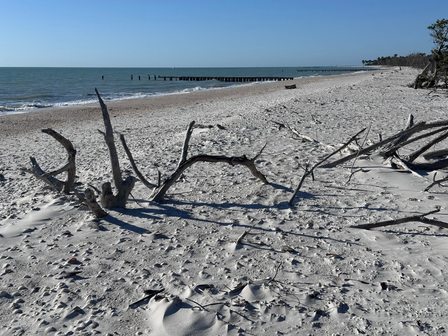
On a good low tide you can also make out a few old pilings still standing in the shallows off the point, weathered down to blackened stubs — remnants of the working waterfront that once stood here. We slow the boat through this stretch specifically so guests can spot them, because at anything above a mid-tide they disappear back under the surface completely and the story loses its evidence.
Our captains will often cut the engine here and let the boat drift a moment, because the quiet makes it easier to picture what this bank sounded like as a working village — boats being loaded, clams being processed, none of the stillness the water holds now. It’s one of the few stops where slowing down does more for the story than anything we could say over engine noise.
We hold well off plane and idle the whole approach here on purpose, not just for the view. This bank is still actively eroding at the waterline, and our own wake can chew at that same edge faster than the tide alone would manage. Mature gumbo limbo and cabbage palm now grow right up out of the old shell layer, roots tangled around whatever’s left of the settlement’s footprint underneath them, so we treat the whole stretch as something to pass gently, not something to churn past.
We time this stop for a falling tide whenever the day’s schedule allows it, because the exposed bank and the old pilings both read better with less water covering them. On a high tide we’ll still point out the location and tell the story the same way, but we’re honest with guests that the good detail is mostly out of sight until the water drops enough to show it.
Some mornings, if the light’s right and the tide’s cooperating, we’ll idle in close enough that you can see how the mound has slumped and eroded at the edges over time, shell and sand mixing back into the bank the water keeps working at. It’s a reminder that even the ground this village stood on is still slowly changing shape under the tide.
The mound and the vanished village it carried are part of why we treat the run past Caxambas Pass as more than just a way out to open water, and it’s a stop we’re glad to slow down for on shelling tours headed south.