
📖 At a glance
- What they are
- Remains of a 1980s solar-powered dome home
- Current state
- Toppled by Hurricane Ian (2022) — half-submerged ruins
- Where
- Off the south tip of Marco Island, edge of the Ten Thousand Islands
- By boat?
- Yes — reachable on our island routes
- Can you go inside?
- No — we view from the water, they're unsafe ruins
What the dome houses actually are
Back in the early 1980s, an oil-industry retiree built a self-sufficient, solar-powered home out of six connected concrete domes, perched on pilings above the Gulf at the tip of Cape Romano. It was futuristic and a little bonkers — storm-resistant by design, off-grid before that was a thing. For decades it sat abandoned as the shoreline eroded out from under it, until the domes were marooned offshore, standing in open water like something from a sci-fi film. That's the image that made them internet-famous.
The truth: Ian changed everything
We'll be straight with you, because a lot of websites still aren't: those proud, standing domes are gone. When Hurricane Ian roared through in September 2022, the surge and waves finally won. The structure collapsed — several domes toppled into the Gulf, and what remains is a broken, half-submerged ruin partly swallowed by the water at high tide. It's still genuinely striking, almost more so now — a modern Atlantis slowly going under. But if you came expecting the postcard, we want you to know before you board, not feel let down on the water.
How you see them by boat
The domes sit in open, shifting shoals off the south end of Marco Island — there's no road, no walking up. The only way to see them is from the water, which is exactly where we work. Our captains run the routes through the Ten Thousand Islands that can swing past Cape Romano, conditions permitting. The water around the ruins is shallow and tricky, so we read the tide and approach safely, getting you a clear view and a good photo without putting the boat or the wildlife at risk.
| Before Ian | Now | |
|---|---|---|
| Structure | Six domes standing on pilings | Collapsed, half-submerged ruins |
| Look | Igloos rising from the Gulf | Modern shipwreck going under |
| Access | Boat only | Boat only — view from the water |
Is it still worth the trip?
Honestly, yes — if you go in with the right expectations. The ruins are a one-of-a-kind sight, and the journey to reach them is half the magic: you cruise through some of the wildest, prettiest backwater on the Gulf coast, often with dolphins escorting the boat and birds working the flats. Pair the domes with a stop on a quiet island beach or a swing through the islands and you've got a full, memorable day on the water. Want to build the trip around it? A private charter lets us set the route to catch the domes on the right tide, or our island-hopping tours weave them into a bigger adventure.
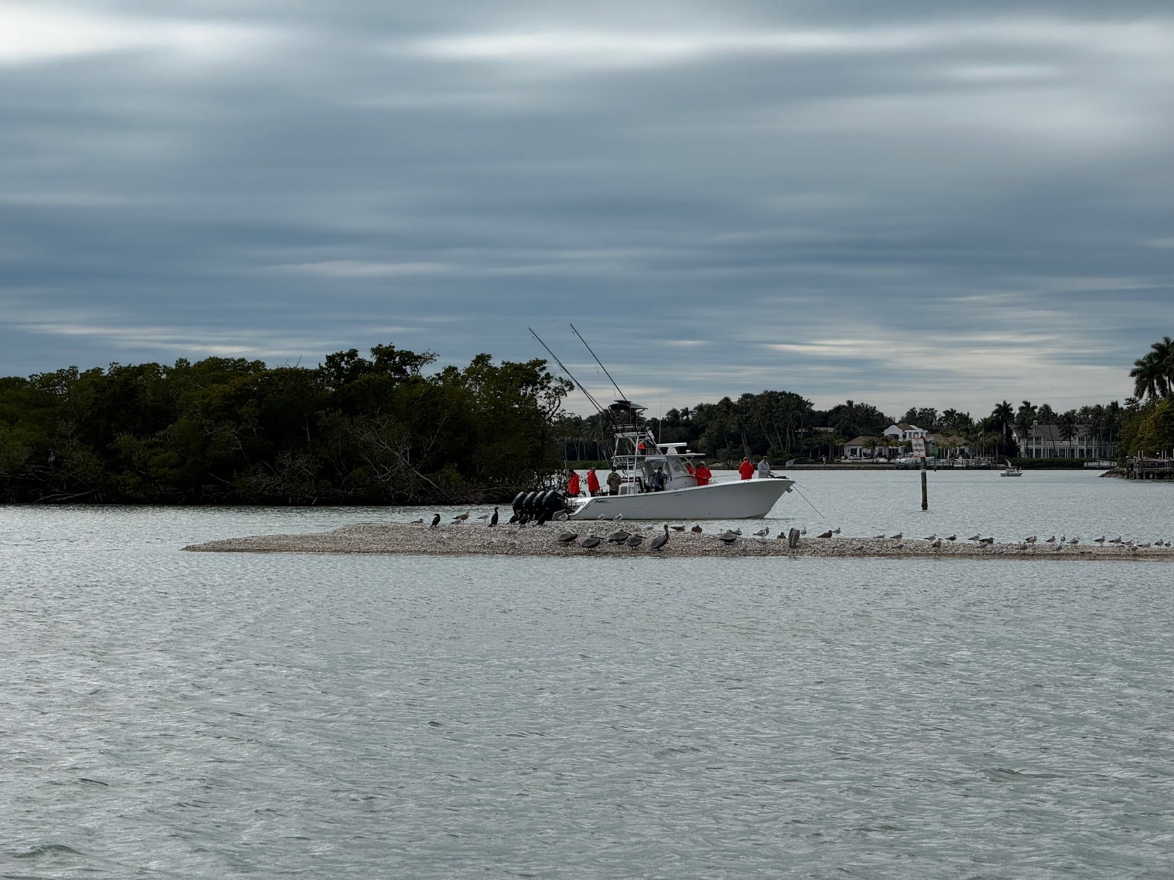
From the Helm: Standing off the Cape Romano Shoals depending on the tide, before we idle up to the ruins
Every run out to the dome ruins starts with a decision that has nothing to do with photos — how close the tide will actually let us get. The sand around Cape Romano shifts constantly, and the shoals guarding the approach can sit just inches under the surface on a low tide, so our captains read the depth sounder the whole way in and stand off further than guests expect if the numbers look thin. Getting guests the closest possible look always takes a back seat to keeping the lower unit out of the sand, no matter how much a guest in the bow is craning for a better photo angle.
A rising tide gives us the most room to work with, letting us idle in closer along the deeper edge of the shoal before easing back out. Catch the same spot two hours before or after that window on a falling tide, and the same approach that felt comfortable that morning can turn skinny fast, which is why we don’t run a fixed line out there — we adjust the route to that day’s water, not to whatever worked the last time we ran it.
The ruins themselves change more than people assume. Since Hurricane Ian toppled the domes in 2022, storm season after storm season has kept reshaping the sandbar around them — a dome that stood partly clear of the water two years back might sit lower now, or a new sandbar might have built up in front of one that used to be reachable at low tide. We don’t describe the site the same way twice in a season, because honestly, it rarely looks quite the same from one trip to the next, and we’d rather guests hear that upfront than picture the postcard version of a place that’s still actively settling into the Gulf.
Once we’re in position, engines come down to idle and stay there — no wake, no throttle, just enough way to hold the boat steady while everyone gets a look at the half-submerged structure and the birds that tend to perch along whatever’s still standing above the waterline. It’s quieter out there than most guests expect for a site with this much history attached to it, just water slapping against broken concrete and the occasional osprey call carrying across the flat.
If the ruins are the whole reason for your trip, say so up front so we can time it around a tide that gives us the best shot at a close pass, rather than whatever window happens to be open that day. It pairs naturally with a longer run through the Ten Thousand Islands or a stop at Kice Island on the way back in, so the whole afternoon isn’t built around one photo stop alone.