
🗺️ At a glance
- What it is
- A maze of mangrove keys, a wild estuary wilderness
- Protected as
- ~35,000-acre National Wildlife Refuge plus an aquatic preserve
- Birdlife
- 200+ species recorded
- Human history
- Many keys are Glades/Calusa shell-work islands
- Best access
- By boat from Goodland
The maze, by the numbers
Nobody has ever counted ten thousand islands — the name is poetry, not a census — but the feeling is accurate. From the air it looks like green confetti scattered across silver water; from a boat it’s a shifting maze of mangrove keys, tidal creeks, and open bays where it’s genuinely easy to lose your bearings. Much of it falls inside a roughly 35,000-acre National Wildlife Refuge, with an aquatic preserve alongside, which is why it stays so wild. This is the water you enter once you round Cape Romano at the south end of the developed coast, and it’s threaded by passes like Coon Key Pass and bays like Gullivan Bay.
Calusa shell-work islands
Here’s the part that surprises people: a lot of these “natural” islands aren’t natural at all. For thousands of years the Calusa and earlier Glades peoples lived on this coast, and they built up many keys from discarded shells — vast middens that grew into high, dry land in a region that otherwise has almost none. Islands like Dismal Key and Panther Key still carry these shell mounds, and you can stand on top of one and realize you’re standing on centuries of human work. It’s one of the most quietly mind-bending things about boating out here.
Wildlife of the refuge
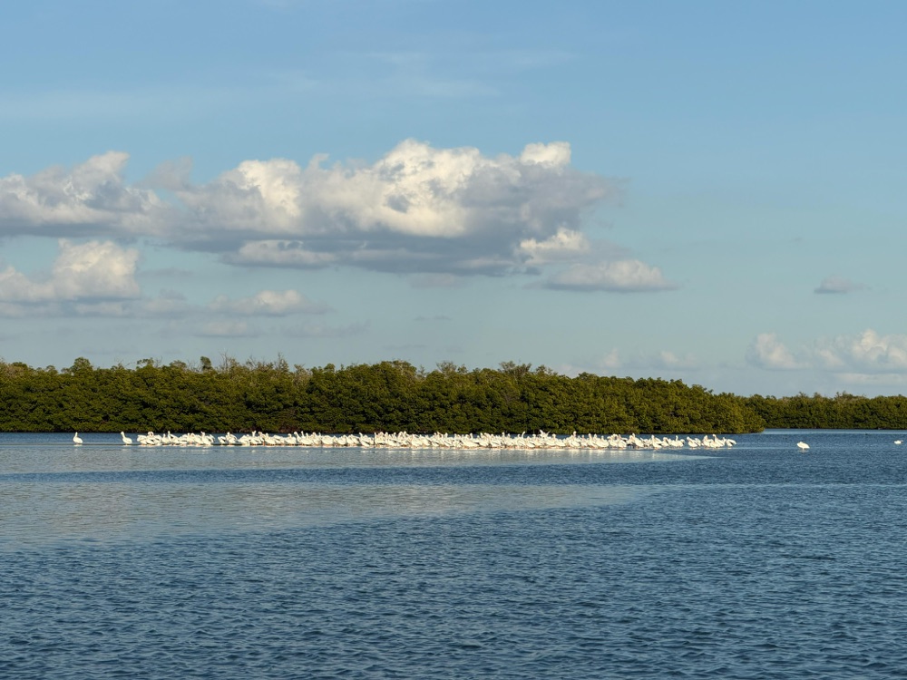
With 200-plus bird species on record, the Ten Thousand Islands is a serious wildlife destination. The keys host nesting bird rookeries, the flats hold rays and wading birds, dolphins work the passes, and in the cooler months manatees use the sheltered backwaters. The whole system is held together by the mangrove ecosystem — the red, black, and white mangroves that build the islands and shelter the nursery for nearly everything that swims here. Slow down and the refuge reveals itself layer by layer.
Exploring by boat
The classic launch point is Goodland, the old fishing village on Marco’s southeast corner, where the run into the islands is short and the channels are familiar to local captains. You can fish the backcountry, idle the passes for dolphins, land on a quiet key, and shell the wild beaches — remembering that this is Collier County, so it’s empty shells only. Because the maze is so easy to get turned around in, going with a captain isn’t just easier, it’s smarter. Come see it on our Ten Thousand Islands boat tours, or pair the wildlife with a dolphin tour.
| Focus | What it looks like |
|---|---|
| Wildlife | Dolphins in the passes, rookeries, manatees in cool months |
| History | Calusa shell-mound keys like Dismal and Panther |
| Shelling | Wild beaches, empty shells only |
| Fishing | Backcountry creeks and bays |
From the Helm: Threading Coon Key Pass and the back guts on a falling tide out of Goodland
Most guests go quiet within the first ten minutes of running back into the Ten Thousand Islands, and it’s usually somewhere past Coon Key Pass that you’ll catch them turning around in the seat, looking for a landmark that isn’t there. Every key looks like the last one — the same green wall of red mangrove, the same narrow gut splitting off to the left, no road, no water tower, nothing to hang your bearings on. That disorientation is the honest experience of the maze, and it’s exactly why our captains are running compass headings and a chartplotter track back there instead of memory alone.
A paper chart will show you the shape of the islands, but it won’t tell you that a gut holding four feet of water on a Tuesday can be skinny mud by the weekend, because these passes shift with every strong front and every big tide. We run this maze on a falling tide more than a rising one, since a falling tide exposes the oyster bars and sandbars early enough to read them by color and current line before we’re committed to a cut. Go in blind on a high, glassy tide and everything looks deep — that’s exactly when a boat gets caught out.
From the helm you notice the keys that don’t look like the others — a low, rounded hump of shell and soil standing a foot or two above the surrounding mangrove flat, packed hard enough to support gumbo limbo and strangler fig where nothing else around it grows. You’d never clock the difference from a chart or a satellite photo; you have to be idling past at eye level to see how deliberately built some of these islands look. Our captains slow down for those stretches on purpose, because that’s the one place in the maze where the shape itself tells a story.
When the wind swings onshore and Gullivan Bay kicks up a chop, we don’t fight it in open water — we tuck back inside the keys and run the sheltered guts instead, adding time to the route but keeping the ride comfortable. That decision happens on the fly, out on the water, not off a printed itinerary, which is part of why we treat this stretch as a place to adapt rather than a straight line from A to B.
It’s the same maze that made Calusa fishing villages possible centuries ago, and running it today still takes the same close reading of tide and wind, just with a depth sounder to back up the eyes. We fold parts of this route into several trips, including our shelling tours when the outer keys are lying calm, and cover the rest of the region’s geography in our destinations guide. However you reach it, give yourself more time than the map suggests.
| Tide stage | What we see | How we run it |
|---|---|---|
| Falling | Oyster bars and sandbars exposed, color and current lines visible | Our preferred window — cuts read clearly before we commit |
| Dead low | Skinniest guts may go dry | We stick to known deep water and skip the back guts |
| Rising or high | Everything looks deep and uniform | Extra caution, slower speed, bow lookout posted |