
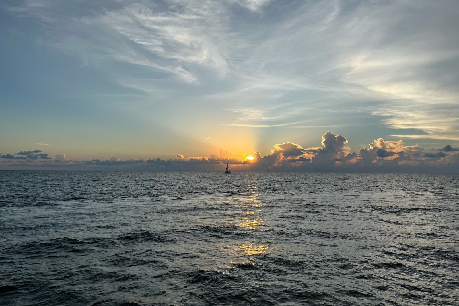
☀️ At a glance
- Storm season
- Roughly May–September (the wet season)
- Daily timing
- Storms usually fire mid-to-late afternoon, ~1–5 p.m.
- Cause
- Sea-breeze convection — the land heats, air rises, clouds build
- Best window
- Mornings: calm, clear, flat water
- Smart move
- Book a morning departure in summer
Why summer storms fire every afternoon
Here's the simple version of the science. On a summer day the land heats up much faster than the Gulf. That warm air over land rises, and cooler, moist sea air rushes in to replace it — the sea breeze. All that rising, humid air builds into towering cumulus clouds through late morning, and by early afternoon those clouds boil over into thunderstorms. On the SW Florida peninsula, sea breezes push in from both the Gulf and the Atlantic and often collide near the middle, which is exactly why our region is one of the most lightning-prone places in the country in summer. It's a daily engine: clear at dawn, charging by noon, dumping rain by mid-afternoon, often clearing again by evening.
When the storms actually hit
The pattern is reliable enough to set a watch by. Most summer days, the sky is clear and calm from sunrise through late morning, the Gulf is flat, and the light is gorgeous. Clouds stack up through midday, and the first storms usually pop somewhere between 1 and 5 p.m. They can be intense — heavy rain, vivid lightning, gusty wind — but they're also often fast-moving and localized, so one part of the coast can be soaked while another stays dry. By evening the air frequently settles back down, which is why summer sunset cruises can still be spectacular once the afternoon cell has rolled through.
| Time | Conditions | On the water? |
|---|---|---|
| Sunrise–late a.m. | Calm, clear, flat Gulf | Best window — go now |
| Midday | Clouds building, getting humid | Heading in |
| ~1–5 p.m. | Thunderstorms, lightning, wind | Off the water |
| Evening | Often clears again | Sunset can be great |
Why morning tours are the smart summer move
Put it all together and the strategy writes itself: go early. A morning departure gives you the calmest seas, the clearest skies, the coolest air before the humidity peaks, and — not coincidentally — the best wildlife and shelling, since the heat hasn't yet pushed everything into hiding. It also keeps you well clear of the afternoon lightning, which is the one Gulf hazard we take dead seriously. Our captains watch the radar all season and we'll never run you into a storm. If the sky looks wrong, we adjust the plan or the time — see our honest weather and cancellation policy. For a morning trip, our shelling tours and dolphin tours are the easy summer pick.
Planning a summer trip around the weather
None of this should scare you off a summer visit — summer here is warm, green, alive, and far less crowded than winter. You just plan around the clock instead of fighting it. Book the morning, keep the afternoon for the pool or a shady lunch, and you'll have a far better day than the folks who scheduled a 3 p.m. cruise. See how summer fits the rest of the year in our best time to visit Marco Island guide and the month-by-month Naples weather guide.
From the Helm: Summer Thunderstorms: Reading the Everglades Tree Line Before the First Cloud Builds
Long before any cloud actually builds, our captains are already reading the morning sky for what it’s going to do by early afternoon. A hazy, breathless dawn with barely a ripple on the bay is almost always the tell for a hard pop later — the atmosphere’s loading up, not calming down. We’ve learned to treat a suspiciously perfect flat-calm summer morning less as a lucky break and more as a countdown, which is exactly why our summer departures skew early rather than lazy. A muggy, still 7 a.m. with the palms barely moving is usually the surest tell of all.
Out past the barrier islands, the first real sign usually isn’t a cloud at all — it’s the tree line toward Everglades City going hazy and dark along the horizon while the sky overhead is still blue. That shift in the mainland tree line is our cue to start thinking about the run home well before anyone aboard notices a single cumulus tower. We’d rather turn the bow back twenty minutes early on a trip that never gets rained on than explain why we waited too long.
Every boat runs with a VHF tuned to the marine forecast and a radar app pulled up on somebody’s phone at the helm, but honestly, the sky usually tells us first. Towering cumulus with a hard, anvil-flat top means business; the same clouds still rounded and puffy on top usually have another thirty minutes in them. We check the radio to confirm what we’re already seeing, not to discover it — by the time a warning crackles over the channel, we’ve typically already adjusted course.
If a cell builds up faster than expected mid-trip, our plan B is almost always the same: point toward the nearest protected bay water instead of racing the open Gulf back to the marina. Running inside the islands in a light chop beats outrunning lightning over open water every time, even if it adds a few minutes to the trip. Guests sometimes ask why we’re not just gunning it straight home, and the honest answer is that the shortest line isn’t always the safest one once weather’s actually moving.
If it were our own kids aboard, we’d take the same early booking every time — there’s a reason a lot of our dolphin and shelling trips fill the 8 and 9 a.m. slots first in July and August. The water’s calmer, the light’s better for photos, and you’re back at the dock with a cold drink well before the sky does anything dramatic. An afternoon booking isn’t off the table, but it comes with a real chance of a shortened trip.
| Sign | Our move |
|---|---|
| Flat-calm, breathless dawn | Push our departure earlier, not later |
| Everglades tree line hazing over | Start planning the run home |
| Cumulus flattening into an anvil top | Turn for protected bay water |