
🏝️ At a glance
- What it is
- Boat-only mangrove archipelago south of Marco
- Access
- By boat from Goodland — no roads
- Why it's good
- Almost no foot traffic = fuller drifts
- Find
- Whelks, conchs, olives, cockles, sea beans
- Rule
- Empty shells only — Collier County
What the Ten Thousand Islands are
Despite the name, nobody's ever counted exactly ten thousand — it's a sprawling maze of mangrove islands, tidal creeks, oyster bars and sandbars stretching from south of Marco down toward the Everglades. Most are mangrove tangles with no real beach, but scattered through them are sand spits and shell bars that the tide builds and rebuilds. Because you can only reach them by water, the Ten Thousand Islands stay wild in a way the mainland beaches never can. Our Ten Thousand Islands guide maps out the lay of it.
Where the shells gather
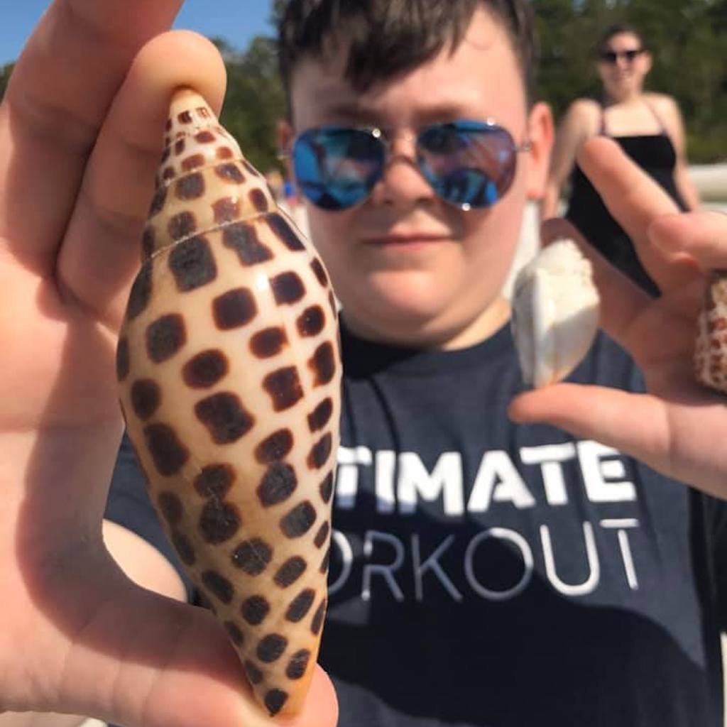
Out here you're not shelling a long open beach — you're reading the water for the right bar. The captain looks for sand spits on the Gulf-facing edges and the oyster-and-shell bars that pile up where currents meet, then drops you where the drift is thickest. Because so few people ever set foot on these bars, the lines stay full: lightning whelks, fighting conchs, olives, cockles, and sometimes drift seeds like sea beans tangled in the wrack. It's slower, hunting-style shelling, and it rewards a good eye. We run there on our shelling tours out of Goodland.
| Spot type | What to expect |
|---|---|
| Gulf-facing sand spit | Longest open drift line, biggest whelks |
| Oyster / shell bar | Dense piles where currents meet |
| Mangrove edge wrack | Sea beans, small shells, drift treasures |
| Tidal creek mouth | Fresh deposits on a falling tide |
Why fewer crowds means more shells
This is the whole reason to shell the Ten Thousand Islands instead of a public beach. A drive-up beach is combed clean by mid-morning; out here, you might be the first person to walk a bar in days. The tide keeps delivering, and there's nobody ahead of you to scoop the catch. Pair that with the birds, the dolphins and the silence, and a day in the islands feels like time travel. See how it stacks up on our boat-only beaches guide.
Take only empties
The Ten Thousand Islands lie in Collier County, so the rule is firm and simple: empty shells only. No live shells, no live sand dollars, no starfish. Out here especially, leaving the living things in place is what keeps these wild bars producing. Check the Collier County shelling rules before you go.
From the Helm: the Coon Key Pass line we run into the Ten Thousand Islands at dead low
Every morning we run into the Ten Thousand Islands, the first decision happens before we clear the dock: which back bay is going to fish better on today’s wind. A north wind pushes us toward the lee bars off Panther Key; anything out of the south and we’d rather thread Coon Key Pass and work the flats along Gullivan Bay instead, where the mangrove line breaks the chop before it ever reaches the sandbar we’re aiming for.
Coon Key Pass itself takes some respect on the way in — it’s narrow, it shoals on either edge, and we idle it rather than run it, watching the water change from the darker cut of the channel to the lighter sand underneath before we commit to a line. Guests rarely notice this part of the trip, but it’s the difference between nosing gently onto a bar at the right angle and grinding a hull into an oyster-crusted edge nobody wants to hear.
Once we’re through, we throttle back to a walking pace and idle across the flat, since these back-bay bars run skinnier than they look from the pass. We watch for the bar to go from a shine of skim water to bare, packed sand before we let anyone off the boat — step off too early and you’re wading instead of walking. Dead low is when we want to be standing on them — that’s when the mangrove-fringed drift lines almost nobody else walks are fully exposed, and the oyster bars along the edge hold the fresher, less-picked-over shells the retreating water just uncovered.
Once the hull noses onto the bar, our deckhand hands each guest a mesh bag rather than letting anyone carry loose shells in cupped hands, and we walk the group through a quick read of the wrack line before anyone wanders off — which stretch is holding the freshest material, which direction the water’s still pulling off the sand, and where the softer mud starts so nobody sinks in past their ankles.
If the wind swings hard against our first plan mid-morning, we don’t fight it — we’ll swap to the lee side of Dismal Key instead, which stays workable in almost anything out of the north. That flexibility is part of why we build these mornings around conditions rather than a fixed stop, even when the destination on the schedule reads the same every time we run it.
However the wind lays that morning, the rule at the rail never changes — whatever comes up empty goes in the bucket, and whatever’s still got a tenant goes right back where you found it. Run this water with us on a shelling tour, or bring the whole group and turn it into a full island-hopping day through the back bays.