
🌊 At a glance
- Village tide point
- Marco River / Goodland — reads later & softer than the outer beach
- Pass tide point
- Caxambas Pass — a true inlet exchange, not a beach reading
- Low tide upside
- Exposes wide sandbars on the run toward Kice Island
- Low tide caution
- Serious shoaling south of the pass; channel out of San Marco Marina also shoals in spots
- Don’t confuse
- Big Marco Pass (north) is a completely different inlet
- Rule of thumb
- Check the marina-side reading AND the pass reading before you plan a Goodland trip
Why Goodland Reads a Different Tide Than the Beach
Look up a tide chart for Marco Island and you’ll get one tidy prediction, but that number is written for the outer Gulf beach, not for the docks at Goodland. Goodland sits tucked into the Marco River on the quiet southeast corner of Marco Island, linked to the rest of the island by a short bridge, and it still runs like the working fishing village it’s always been — stone-crab boats, stilt houses, and the San Marco Marina sitting right at the water’s edge. Because the village sits inside that river system instead of directly on the open Gulf, its tide arrives later and moves with noticeably less punch than the same morning’s number for the beach a few miles north. Our captains have learned to read the Goodland docks on their own terms: what the outer-beach chart calls dead low can still leave a foot or more of water sitting at the marina, and a big beach high doesn’t always show up here at all. If you’re planning a Goodland departure and you’re following a generic Marco Island tide app, you’re reading the wrong page for this launch — look for a prediction point that actually references the Marco River or Goodland, not the coast.
Caxambas Pass: Reading the Exchange
A few minutes south of the marina, the picture changes again. Caxambas Pass is Marco Island’s southern inlet, the old Calusa fishing ground that funnels a serious volume of water between the open Gulf and the mangrove maze of the Ten Thousand Islands behind it. A pass isn’t just a place where the tide happens — it’s the drain and the faucet for everything behind it, so the current through Caxambas can run harder and longer than the same tide swing would suggest on a beach with nothing funneling through it. Our captains watch two different things here: the height, which tells you how much water you’ll have on the sandbars and flats to the south, and the current, which tells you how lumpy or smooth the pass itself will ride. An outgoing tide pushing against a stiff onshore wind stacks up short, confused chop right at the pass mouth, the same way it does on the Marco Island beach side, but because Caxambas carries so much backcountry water on every cycle, that stack-up tends to last longer and build a little harder than a casual glance at the tide chart would lead you to expect.
Low Tide and the Shoaling South of the Pass
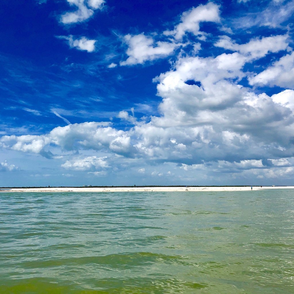
Low tide is where Caxambas Pass gets serious. South of the pass, the water skinnies up fast over sandbars and shoals that shift from season to season, on the route our captains run toward Kice Island and the Cape Romano dome-house ruins. At a normal low, that skinny water is exactly what turns up a wide, walkable sandbar for shelling or a flat worth idling across carefully. At a lower, wind-assisted low — the kind a strong winter cold front or a full-moon cycle can produce — the same stretch can go from skinny to genuinely un-runnable, and a boat that doesn’t know the ground will find it the hard way. This is exactly why our captains treat the water south of Caxambas Pass as a slow-idle, chart-and-eyeball zone rather than a straight shot, especially on a dropping tide first thing in the morning before the day’s wind has had a chance to push any extra water back in. It’s also why a Goodland-based shelling or fishing trip gets planned around the pass reading, not just a generic Marco Island low-tide time.
The San Marco Marina Channel & Getting Your Inlets Straight
Getting from the dock to open water adds one more wrinkle. The channel leaving Goodland’s San Marco Marina shoals in a couple of spots that don’t always show clearly on a chart plotter, and that shallow ground bites hardest right as the tide is dropping, so our captains idle out and hug the markers a little tighter than instinct suggests whenever the water’s on its way down. That’s a different concern than the shoaling south of Caxambas Pass — here it’s inches at the edge of a narrow channel, not a broad flat — but it’s exactly the kind of local detail a generic tide app can’t warn you about. It’s also worth keeping Marco Island’s two inlets straight, because mixing them up on a chart sends you the wrong direction entirely: Caxambas Pass is the southern route toward Kice Island and Cape Romano, while Big Marco Pass, well north of Goodland, is a completely different inlet, the one that shapes the Sand Dollar Island sandbar. A tide reading for one tells you nothing reliable about the other, which is exactly why our shelling trips and fishing charters departing from Goodland plan around the Caxambas-side numbers specifically.
| Location | What the tide does | What to plan around |
|---|---|---|
| Outer Marco Island beach | The standard coastal reading most tide apps default to | Doesn’t reflect Goodland or the pass — use it for the beach only |
| Goodland / San Marco Marina (Marco River) | Arrives later and smaller than the outer beach | Dock depth, marina channel shoaling on a dropping tide |
| Caxambas Pass | Strong Gulf-to-backcountry exchange; current as much as height | Pass roughness against wind; timing the run south |
| South of the pass (Kice / Cape Romano route) | Skinnies fast on a dropping or negative low | Shoaling & shifting sandbars — idle, chart, and eyeball it |
Planning a Goodland Departure Around the Tide
Put the two readings together and you’ve got the real Goodland picture: the Marco River tide for what the water’s doing at the San Marco Marina dock, and the Caxambas Pass reading for what it’s doing on the run south toward the wild islands. Our captains build every Goodland departure around both numbers, not one. A morning shelling trip on a big negative low wants the pass reading first, since that’s what decides whether the sandbars off Kice sit high and dry or barely poke through. A fishing charter working the back bays cares more about the marina-side timing, since that’s what decides how much moving water is stacked in the creeks and flats where redfish and snook stage. And a sunset or dolphin run out of Goodland benefits from whichever tide gives the smoothest ride through the pass, since nobody wants a golden-hour cruise starting with a wet, bumpy inlet crossing. It’s the same tide science that runs across the wider Ten Thousand Islands backcountry — read more of it in our Gulf Water & Weather guide — just applied at the specific launch point where our captains actually put guests on the boat.