
🌊 At a glance
- Tide type
- Mixed semidiurnal — two unequal highs and lows most days
- Best beach window
- Mid-falling tide through low widens the Gulf-side sand flat
- Bay side at low
- Skinny water behind the island near Rookery Bay makes anchoring tighter
- Access
- Boat-only — no bridge or public road onto Keewaydin
- Best for
- Beachcombing, shelling and sandbar time on the falling tide
- Gateway
- Reached from Naples’ Gordon Pass or from Marco Island and Goodland
Why tides make or break a Keewaydin beach day
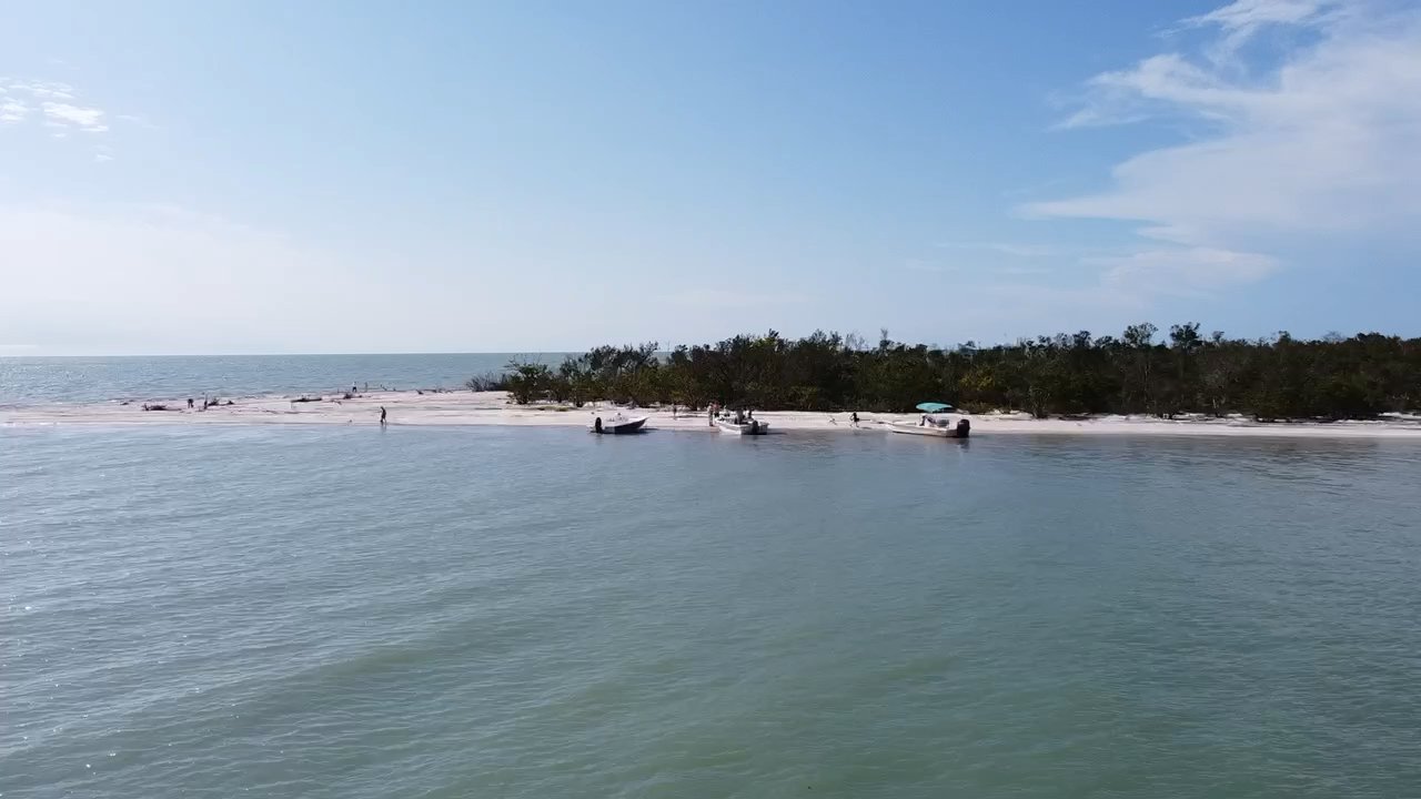
Keewaydin Island doesn’t have a parking lot, a bridge, or a public boat ramp that puts you on its sand — the only way onto this barrier island is by water, which is exactly why the tide chart matters here more than almost anywhere else on the coast. Stretching south from Naples’ Gordon Pass toward Marco Island and Goodland, Keewaydin sits inside the Rookery Bay National Estuarine Research Reserve, mangrove-fringed on its bay side and wide-open Gulf beach on the other. That split personality is the whole story: the same tide that widens your beach on the Gulf side can leave the bay side too thin to anchor in comfortably.
Most first-time visitors think about tide the way they would at a bridge beach — nice to know, not essential. On Keewaydin it’s the difference between a wide, walkable sand flat and a narrow strip pinched against the dune grass, and between an easy, unhurried beach drop and a rushed one. If you want the fuller backstory on the island itself — how it stayed undeveloped, what’s protected, and what else is out there — our Keewaydin Island guide covers that ground; this page is just about timing your day around the water.
How low tide transforms the Gulf-side beach
On the falling tide, the Gulf side of Keewaydin opens up. Water pulls back off a long, gently sloping sand flat, and what was underwater an hour earlier becomes a wide, firm-packed beach with shallow troughs running parallel to the shoreline. Those troughs are where shell material collects and where you’ll usually spot the local keyhole urchins — our Gulf coast’s answer to the classic sand dollar — along with whatever the last cold front or Gulf swell pushed in. Remember that Collier County protects live shells, sand dollars and starfish, so anything still moving goes back exactly where you found it.
As the tide keeps falling toward dead low, the flat is at its widest and the water at its calmest, which is why our captains like to time a Keewaydin beach drop for that window rather than fighting a rising tide that’s already chewing the beach back toward the dune line. Near high tide, that same beach shrinks to a narrow band, sometimes not much more than a towel’s width, and wading out to the sandbar means actually getting in the water rather than strolling out on packed sand. If shelling technique itself is what you’re after — how to read the wrack line, which tide stage to walk, what to look for in the troughs — our best-tide-for-shelling guide goes deep on that; here we’re strictly talking about timing the beach day itself.
Why the bay side gets skinny near low
Flip to the bay side of Keewaydin and the same falling tide that’s a gift on the Gulf side becomes the thing our captains watch most closely. The water behind the island threads through Rookery Bay’s mangrove creeks and skinny flats, and as the tide drops toward low, depths in those back channels can get thin fast — too shallow for a comfortable anchorage close to shore, and in some spots too thin to run at all without local knowledge of where the deeper cuts sit. That’s the trade-off of a boat-only island: the same tide swing that hands you more beach on one side can hand you less water on the other.
It’s also where you’re most likely to see life working the shallows. Bottlenose dolphins live in these waters year-round and will often work a falling tide along the mangrove edges, though we never promise a sighting on any given trip, and ospreys and wading birds patrol the exposed flats as the water thins out. Reading how a falling tide squeezes the bay side while it opens the Gulf side is exactly the kind of call that comes from running this water daily, which is a good chunk of why a captain-led trip beats trying to time it yourself off a tide app alone.
| Tide stage | Gulf-side beach | Bay-side (Rookery Bay) approach | Best for |
|---|---|---|---|
| High tide | Narrow strip against the dune line | Deep, easy anchorage close to shore | Swimming, quick stop |
| Falling tide | Widening fast, flats emerging | Still workable, thinning | Beachcombing, arrival window |
| Low tide | Widest sand flat, troughs exposed | Skinny — limited to known deep cuts | Shelling, sandbar time |
| Rising tide | Shrinking back toward the dune | Refilling, easier departure | Heading back, one more wade |
Timing your beach-drop window
Put the two sides together and you get the real answer to what the tide is doing at Keewaydin: the workable window for a beach day usually runs from a couple of hours before low tide through about an hour after, while the Gulf-side flat is wide and the bay-side approach is still navigable. Wait too long past low and you’re racing a rising tide that’s both shrinking your beach and refilling the bay channels behind you — not dangerous, just a shorter day than it needed to be. If you like working from the numbers yourself, our guide to reading a tide chart like a boater breaks down highs, lows and the swing between them.
Because Keewaydin has no land access, the tide window is really a boat window, and that’s the piece our captains handle for you. We watch the tide stage against the day’s wind and the run through the pass, then build the beach stop, the shelling time and the ride home around whichever window actually delivers the best sand, the calmest water, and the easiest trip back to Marco Island or Goodland. It’s also worth knowing that spring tides around the full and new moon push both extremes further — more beach at low, less water on the bay side — while neap tides in between run gentler and more forgiving if your schedule can’t chase a specific low.
None of this is a reason to skip Keewaydin — it’s the reason to let a Keewaydin shelling tour do the timing for you. Our USCG-licensed captains check the tide chart before they check anything else, so the beach you land on is the wide one, not the towel-width one. Browse the rest of our Gulf Water & Weather guides for how wind, moon phases and storms shape the rest of the trip, or just book a boat tour and let us read the water for you.