
🌊 At a glance
- Tide type
- Mixed semidiurnal — two highs, two lows daily, usually unequal
- Typical range
- About 2-3 ft here in the Ten Thousand Islands
- Cycle length
- Roughly 6 hours between a high and the next low
- Key passes
- Capri Pass, Big Marco Pass & Caxambas Pass move most of the water
- Best planning tool
- A local tide chart for Marco Island, checked the night before
- Bottom line
- Small vertical change, huge horizontal effect on shallow flats
What a mixed tide pattern means here
Ask a boater on the Atlantic side of Florida about tides and you’ll usually get a simple answer: one real high, one real low, repeat. That’s not how it works out here. The Gulf of Mexico runs what oceanographers call a mixed semidiurnal tide — two highs and two lows most days, but rarely a matched pair. You might get a solid 2.5 ft high in the morning, a modest 1.8 ft high that evening, and lows that are just as lopsided. Some days the second cycle barely shows up at all, and the water almost seems to pause on a long, flat stand before it turns.
That irregularity is exactly why a generic tide app can lead you astray in the Ten Thousand Islands. You need a chart built for this stretch of coast, not a national average. Our captains watch Marco Island’s actual numbers — not a rounded-off guess — because the difference between a 2.6 ft high and a 1.9 ft high changes which flats are reachable and which backcountry cuts have enough water under the hull. Over a two-week stretch you’ll also notice the whole pattern breathe in and out: bigger swings clustered around the new and full moon, and flatter, quieter tides around the quarter moons in between.
Why the passes act like drains
Picture the Ten Thousand Islands as a shallow bathtub crisscrossed with mangrove islands, oyster bars and grass flats. The only way water gets in or out is through a handful of passes, and three do most of the work near Marco: Capri Pass, Big Marco Pass and Caxambas Pass. When the tide turns to incoming, Gulf water pours through these openings and spreads out across the backcountry, refilling creeks and coves that were nearly dry an hour before. When it turns to outgoing, that same volume funnels back out through the same narrow slots — which is why current in a pass can run noticeably harder than the open water on either side of it.
Naples boaters watch a similar dynamic at Gordon Pass, and down toward Goodland the water drains through Caxambas Pass on its own schedule, often 20-30 minutes off from Marco’s. That lag matters: the tide doesn’t turn everywhere at once. It’s a wave moving through the islands, and knowing which pass leads and which one lags is part of how our captains sequence a route, timing the run out through open water before a pass gets sporty and the run back in once the current has settled down.
How big is the swing, really
Compared to places like the Bay of Fundy or even the Georgia coast, the Ten Thousand Islands’ tide range sounds almost modest — typically about 2 to 3 ft between a high and the low that follows. But raw range is the wrong way to measure it here. What matters is how shallow the backcountry is to begin with. A flat that sits under a foot of water at high tide can go fully dry at low, and a creek that looks navigable at 10 a.m. can be a mudflat by noon. Two or three feet of vertical change moves an enormous volume of water horizontally across flats that stretch for acres.
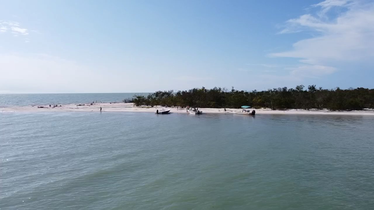
That’s the whole reason a negative low tide is a big deal around here. In winter, the lowest tides tend to land in the morning; in summer, the lowest water usually shows up in the evening. Either way, a strong negative low is what exposes the outer sandbars and shell-rich flats that are submerged the rest of the month — which is also exactly what our shelling tours are built around. The range itself also isn’t fixed all year: it widens around the new and full moon (spring tides) and narrows around the quarter moons (neap tides), so the same low tide label can expose a lot more — or a lot less — sand depending on the week.
Reading the four tide stages
Every tide cycle here moves through four recognizable stages, and each one changes what you’ll see and where you can go. High slack is the calm, brief window at the top of the tide when the current pauses before reversing. The outgoing (ebb) stage is when water is draining off the flats back toward the Gulf, current picking up hardest in the passes. Low slack is the pause at the bottom, right before the exposed flats and sandbars are at their driest. Then the incoming (flood) stage refills everything, current running the opposite direction through those same passes.
| Stage | What’s happening | What it means on the water |
|---|---|---|
| High slack | Current pauses at the top of the tide | Calmest water; flats and mangrove creeks fully covered |
| Ebb (outgoing) | Water drains off the flats toward the Gulf | Current builds in the passes; flats start showing |
| Low slack | Current pauses at the bottom of the tide | Sandbars and flats at their most exposed |
| Flood (incoming) | Gulf water refills the backcountry | Creeks and coves reopen; current reverses in the passes |
Notice that the most dramatic scenery — a sandbar standing several feet out of the water, a creek reduced to a trickle — happens right around low slack, while the easiest, calmest running water is right around high slack. Neither one is “better,” but they’re very different trips, and wading birds and fish tend to bunch up in whatever water is left once a flat drains down toward low slack.
How our captains plan around it
None of this is trivia we expect you to memorize before a trip. It’s the opposite, really — it’s the whole point of booking with people who read this water for a living. Before every run, our captains check the day’s Marco Island tide numbers (you can dig into the specifics on our Marco Island tide guide) and build the route around what the tide is doing that hour: which flats will be dry enough to walk, which backcountry cuts will have water under the keel, and which pass will have the friendliest current for the ride out.
If you’re chasing shells yourself between trips, our tide guide for shellers breaks down exactly how low tide timing affects what washes up. But the short version for anyone planning a day on the water is this: you don’t need to become a tide-table expert. That’s literally our job — you just need to show up, and let a USCG-licensed captain who’s read this water for years put you in the right spot at the right hour, whether that means chasing an outgoing flat at first light or timing a sunset run for the calm of a high slack.