
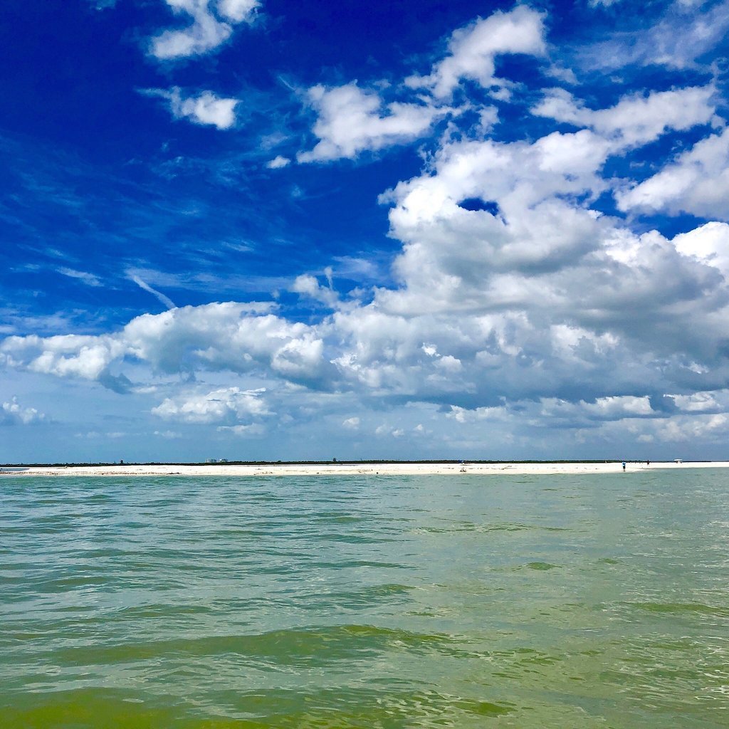
🗺️ At a glance
- What it is
- Undeveloped boat-only barrier island, ~7 miles long
- Where
- Between Naples Bay and the Gulf, within Rookery Bay Reserve
- Getting there
- By boat from Naples Bay or Goodland — no bridge, no road
- History
- Old Keewaydin boys' camp, then a 1920s winter club; a bridge was blocked in the 1950s–60s
- Rule
- Collier County — empty shells only, no live collection
The history that kept it wild
Keewaydin’s name comes from an old summer camp — the Keewaydin boys’ camp ran here in the early 1900s, and by the 1920s a winter club had taken over part of the island, drawing well-heeled snowbirds who arrived by launch. That could have been the beginning of the end. In the 1950s and ’60s there was a real push to bridge the island and open it to cars and development, the way nearly every other stretch of this coast eventually went. Local residents and conservationists fought it and won. No bridge ever came, and that decision is the reason you’re reading a guide to a wild beach instead of a guide to another row of condos. Today most of Keewaydin sits inside the Rookery Bay National Estuarine Research Reserve, which protects the estuary behind it for good.
How to get to Keewaydin Island
There is exactly one way to get here, and it’s the fun way: a boat. Most visitors come down from Naples Bay through Gordon Pass, or up from Goodland and the Marco River, threading the back bays of Naples Bay out to the Gulf side. If you don’t have your own boat, the easiest move is to ride out with us — our captains run this water daily and know exactly which stretch of beach the last tide refilled. The Gulf-facing side is the wide, sandy beach everyone pictures; the bay side is mangrove, oyster bar, and birds. Want the step-by-step on launches and landing spots? We break it down on our how to get to Keewaydin guide.
| Side | What you'll find | Best for |
|---|---|---|
| Gulf side (west) | Wide open sand, surf, shells | Beach-combing, swimming, shelling |
| Bay side (east) | Mangroves, oyster bars, seagrass | Birds, dolphins, calm-water wading |
What to do once you land
The honest answer is gloriously little — that’s the point. You walk miles of empty Gulf beach, swim off the boat, and look for shells the tide just dropped. Keewaydin is one of the best shelling beaches in the area precisely because no car can reach it, so the sand doesn’t get picked clean; we cover the shell side in depth on our Keewaydin shelling guide. Keep an eye on the bay side and the passes for dolphins working the current, and in the cooler months scan the back bays for the manatees that drift in from cold-season refuges. Bring water and shade, and out it goes again with the tide — remember this is Collier County, so it’s empty shells only, no live critters. To put it all together on the water, ride out on one of our shelling tours or browse the full lineup of Keewaydin boat tours.
From the Helm: Reading the wind before we tuck into Keewaydin’s lee
Keewaydin isn’t one beach so much as two, and which one we run depends on what the wind’s doing that morning. The Gulf-facing shoreline toward the island’s south stretch catches whatever chop a westerly kicks up, so on breezy days we tuck behind the island instead, into a bay-side pocket where mangrove breaks the wind and the water goes flat enough to read bottom clearly. Calm mornings flip that choice entirely — we’ll run the outside beach instead, giving guests the full sweep of open sand with nothing between the boat and the surf line.
Getting there changes with which dock we’re leaving from. Out of Naples Bay we ride the tail of an incoming tide to carry enough water across the sandy shoulders guarding the pass mouth — miss that window and the same crossing turns into a grind. From Goodland the route runs up through the Marco River instead, cutting across a skinnier stretch that only holds our draft on the higher half of the tide. Neither line shows its true depth on a chart; both get read off water color and a season’s worth of memory.
When a front pushes through ahead of schedule and drops the tide harder than forecast, we don’t force the usual landing. Our captains shift the whole plan to the island’s north end instead, where the approach stays workable later into a falling tide than the spot we’d normally use. It’s a call made from the helm in the moment, not off a tide chart printed the night before, because the sand here rebuilds and washes out season to season more than a barrier island this close to town has any right to.
Once we’re idling into the lee, we hand the bow line to whoever’s closest and ease the boat against the ladder we carry off the stern rather than beaching the hull outright — it keeps the keel off bottom we can’t fully see and gets guests onto dry sand with dry feet. That first slow minute at idle tends to be the best wildlife window of the stop; we’ll often point out an osprey working the mangrove edge or a ray’s wingtips breaking the surface before anyone’s even stepped off.
The read that actually decides where we land isn’t the compass, it’s the water color under the bow. Blue-green means we’re still in the deeper cut; a paler, sandier tone means the bottom’s coming up fast, and our captains ease off the throttle the moment that shift shows rather than waiting for a bump to confirm it. Wind direction gets checked twice before we commit — once from the dock, once again rounding the point — since a forecast that called for light air can turn into a stiff onshore breeze by the time we’re actually approaching the beach.
We build this kind of judgment into most of our shelling tours and any beach & island trip that lands here, so the timing works whether the wind’s up or the tide’s stingy that day. Guests who spend their stop combing the wrack line for a keeper should hold to the same standard as anywhere else in Collier County — empty shells only, nothing alive comes home with you.