
🌊 At a glance
- What it is
- A shifting sand spit off Tigertail Beach, Marco Island
- Why it moves
- Longshore drift carries sand south along the Gulf beach
- Why it's growing
- Sand is piling into the Big Marco Pass ebb shoal faster than tides remove it
- What changes it fastest
- Tropical storms and hurricanes can reshape it in a single event
- How to see it
- Wade at low tide, or take it in by boat on a shelling tour
What Sand Dollar Island actually is
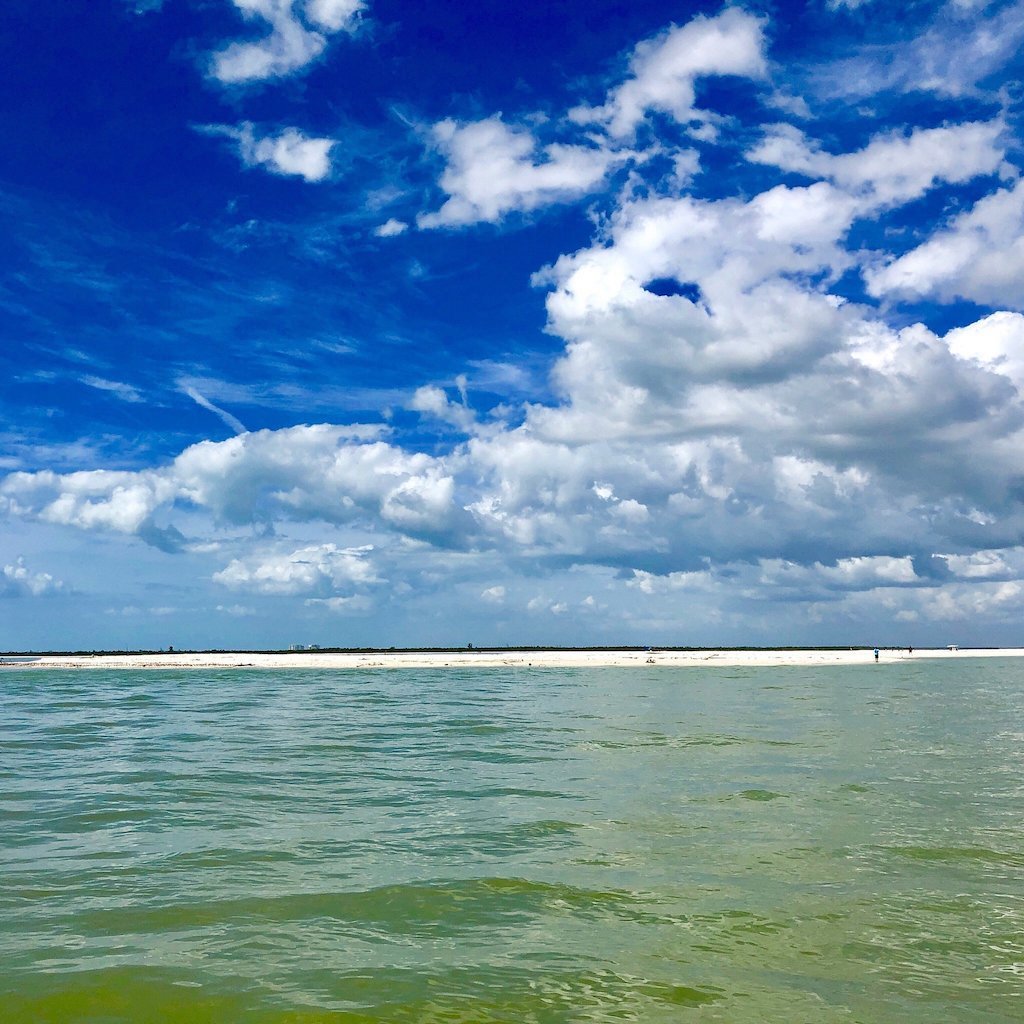
Sand Dollar Island isn't a separate landmass on any survey map — it's a spit, a finger of sand that grows off the north end of Tigertail Beach and wraps toward Big Marco Pass. At low tide you can wade out from the beach, cross a skinny lagoon full of wading birds, and stand on a sandbar that didn't exist in that shape a decade ago. Families love it because it's the rare sandbar you can reach on foot instead of by boat, right at the edge of a Collier County beach park. The name comes honestly: keyhole urchins, the sand dollars that actually live along this coast, wash up here by the hundreds after a good tide, empty tests bleached white in the sun. Collier County lets you keep the empty ones and asks you to leave the living, purple-fuzzed ones exactly where the tide left them, the same rule that covers every shell you pick up between here and Keewaydin.
What actually moves all this sand
Every grain of sand along this stretch of the Gulf is basically on a slow-motion conveyor belt. Wind and swell rarely hit the beach dead-on — they arrive at a slight angle, and that angle sends each wave's swash up the sand at one heading and its backwash draining back down at another, a little short of where it started. Repeat that zigzag a few million times and you get longshore drift: a steady current of sand running parallel to the beach, mostly south along this part of the coast. When that moving sand hits a break in the shoreline — a tidal pass like Big Marco Pass or Caxambas Pass — the tide takes over. Incoming and outgoing water fans the sand out into a shoal instead of letting it keep drifting past, and that's the exact mechanism building Sand Dollar Island onto the north side of the pass, grain by grain, tide cycle by tide cycle, year after year.
Why it keeps growing (for now)
Right now, more sand is arriving at that pass than the tide and prevailing currents are hauling away, so the spit keeps stretching and the lagoon behind it keeps filling in. That's not a permanent guarantee — it's just where the supply-and-demand math currently sits, and coastal engineers who study this stretch would tell you the balance can tip the other way without much warning. The same longshore engine that built Sand Dollar Island has, over the years, buried channels, widened beaches and quietly relocated sandbars up and down this coast. Our captains treat every sandbar as a snapshot, not a fixture, which is exactly why the current best-sandbar picture in our Naples & Marco sandbar roundup changes from season to season and sometimes month to month. A bar that was thigh-deep and wide open last winter can be thinner, deeper or simply gone by the time you're back, and a new one can show up somewhere nobody was watching before. Some years the growth is barely noticeable, a few extra feet of dry sand at low tide; other years it's dramatic enough that longtime locals stop and remark on it from the deck.
Other Ten Thousand Islands sandbars that shift
Sand Dollar Island isn't the only piece of moving sand in the Ten Thousand Islands — it's just the most visible one from shore. South of Marco, boat-only islands like Keewaydin and Kice ride the same longshore current feeding into Caxambas Pass, so their sandbars swell and thin with the seasons in much the same way, and the channels that separate them can shallow up or deepen from one year to the next. We watch those changes as closely as we watch this one, because a channel that was runnable last month can be too thin to cross the next time we idle through. Keep heading south and the story changes: down at Cape Romano, storm surge does more of the reshaping than the daily drift ever could. Hurricane Ian toppled the old dome houses there in 2022, and the shoals around them are still settling into new shapes years later, proof that a single named storm can undo in hours what years of gentle drift spent building grain by grain.
| Sandbar / spit | Location | Main driver | Current trend |
|---|---|---|---|
| Sand Dollar Island | Tigertail Beach, Marco Island | Longshore drift into the Big Marco Pass ebb shoal | Growing, wadeable at low tide |
| Kice Island sandbar | South of Marco Island, boat access only | Drift feeding Caxambas Pass | Shifts shape by season |
| Cape Romano shoals | Southern Ten Thousand Islands | Storm surge and hurricane erosion | Rapidly reshaped since Hurricane Ian |
| Keewaydin sandbars | North of Marco Island, boat access only | Drift and tidal exchange near Gordon Pass | Slow seasonal narrowing and widening |
What storms do to the sand
A normal week of longshore drift moves sand in inches. A single tropical storm can move it in feet, overnight, and a major hurricane can move it in yards. Storm surge stacks extra water against the coast, waves get bigger and steeper, and all that added energy either strips sand off a bar and pushes it offshore into deeper water or piles a brand-new bar somewhere it didn't exist the week before. We cover the mechanics of that in more depth in how storms reshape the islands, but the short version is simple: every named storm resets the map a little, and the sandbar your family waded on last spring break might be a completely different shape, thinner, wider, or somewhere else entirely, the next time you're back on the water. Nothing about that is a bad thing to us; it's just the coast doing what this coast has always done.
How our captains find this week's best sandbar
None of this is trivia to us, it's the daily read that decides where we point the bow. Our captains watch the same tide charts and storm tracks you can pull up on your phone, but we're also out on this water constantly, watching which bar filled in over the weekend and which one thinned out after the last blow. That's the local-knowledge game behind chasing the current best sandbar, and it's baked into how we run shelling tours and private charters, we don't run the same route on autopilot, we run whichever sandbar is actually there today, wherever the sand happened to land. Our Water & Weather hub covers the tides, wind and conditions that decide the rest of your day out here, and it's worth a look before you plan your own trip to the sand.