
| Island | Known for | Access |
|---|---|---|
| Keewaydin Island | 8 miles of empty sand, warm swimming shallows, great shelling | Boat only; ~10 min through Gordon Pass from Naples |
| Kice Island | Remote and quiet; excellent shelling | Boat only; from Goodland / Marco |
| Shell Island | Quieter still; shells, especially after a front | Boat only; from Goodland |
| Cape Romano | Glassy flats, sandbars & the dome-house ruins | Boat only; deep in the Ten Thousand Islands |
| Ten Thousand Islands keys | Hidden coves, sandbars and wildlife | Boat only; from Goodland |
Keewaydin Island
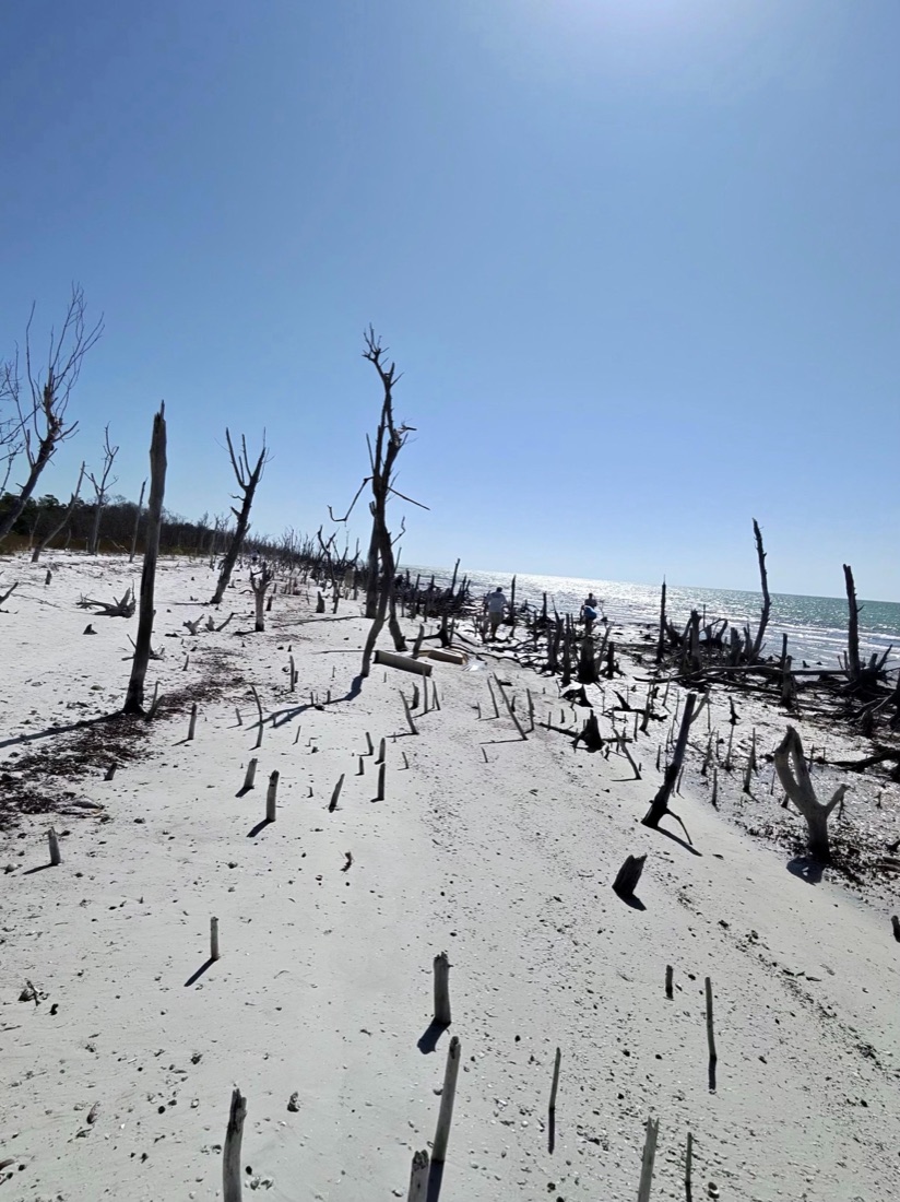
The local favorite — a roadless, eight-mile barrier island just off Naples with miles of empty sand, warm shallows and great shelling. It’s the classic castaway beach day, reachable only by boat through Gordon Pass.
Kice & Shell Island
South toward Marco, these remote keys in the Ten Thousand Islands are quieter still and famous for shelling — whelks, conchs, sand dollars and the rare junonia. Best reached from our Goodland dock.
Cape Romano
Home to the storm-toppled ruins of the Cape Romano dome houses and surrounded by glassy flats and sandbars, Cape Romano is as much a sight as a beach. It’s a highlight of any Ten Thousand Islands trip.
From the Helm: Calling Panther Key over Keewaydin when the westerly kicks up
Picking which island we run most mornings isn’t really a menu decision — it’s a wind call made before the lines are even off the dock. A brisk westerly stacks chop straight onto the open Gulf side of Keewaydin, so on those mornings our captains will swing south into the backcountry instead and tuck behind Panther Key, where the mangroves cut the wind flat and the water lays down glassy. It’s a smaller island with no wide sand runway to spread out on, but the lee shore fishes calmer and the shelling along its inside edge holds up when everything exposed out front is getting hammered by swell.
Getting there is its own kind of local knowledge, because the sand between here and any of these islands moves with every strong front that rolls through. Chartplotters lag behind reality out here, so we idle down well before the markers and read the color change instead — the milky green of a shoal that’s built up since last month versus the darker cut where the real channel still runs. Guests who’ve chartered boats elsewhere often notice we’re watching the water more than the screen, and that’s the honest answer: the GPS gets us close, our eyes get us the rest of the way in.
Once we’re tucked into the lee and the engine drops to an idle, that’s usually the moment someone at the rail asks how we knew which way to turn. We’ll walk them through it right there — the wind direction, the cloud line, the color of the water we just crossed — because half the fun of island-hopping with us is seeing how the call gets made, not just where it lands. If a guest is chasing a specific find rather than a specific island, we’ll say so plainly and point them toward our best shelling beaches instead.
Some mornings even Panther Key isn’t the right call. If another charter already has the good stretch of shoreline, or an outgoing tide is pulling harder than we like through the cut we’d have to cross, we’ll shift again rather than force it. That might mean a shorter run to a nearer sandbar, or holding off on the beach stop entirely and working the edges for wildlife until conditions settle. We’d rather change the plan on the water than promise a specific island and deliver a rough ride to get there.
That flexibility is really the whole job description. Any of these islands can be the right answer on the right day — the trick is matching the wind, the tide and the group standing on the dock that morning, not picking a favorite and running it regardless. If you want a few of them stitched into one trip, our island-hopping tours are built for exactly that kind of day, letting the captain make the calls so you can just enjoy wherever we end up.