
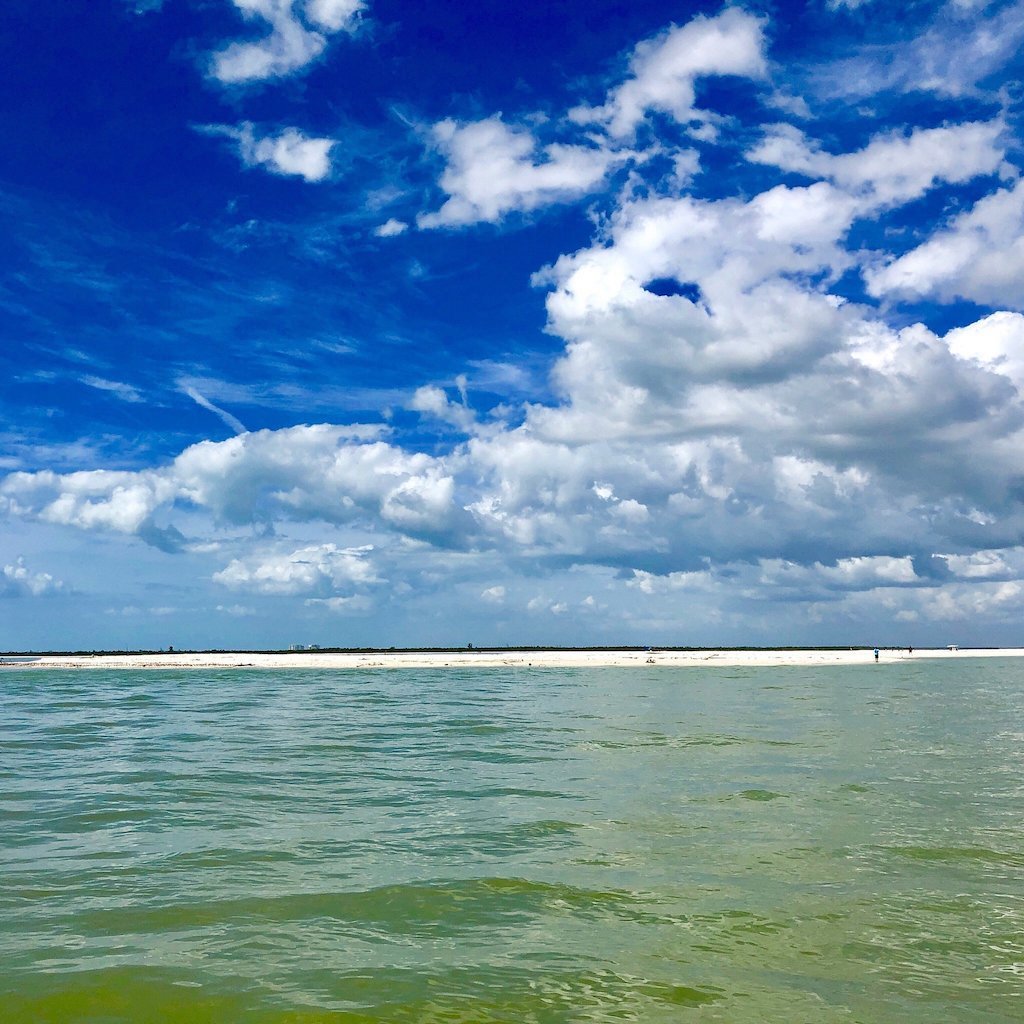
🏝️ At a glance
- Access
- Boat only — no road, bridge or parking lot
- Length
- About 8 miles of undeveloped Gulf shoreline
- Where
- Rookery Bay reserve, between Naples Bay and Marco Island
- Best window
- Low tide, especially the morning after a winter cold front
- Rule
- Empty shells only — live collecting is banned in Collier County
Why boat-only is the whole secret
Here's the honest math of shelling Southwest Florida: the more feet that cross a beach, the fewer shells survive the morning. Keewaydin has almost no feet on it. There is no causeway, no day-use lot, no shuttle stand — you arrive by water onto sand that the tide refilled overnight and nobody has walked yet. That's the conversion the whole island makes for you. When we run our shelling tours out to Keewaydin, we're often the first people standing on a fresh wrack line that day. Compare that to a drive-up beach like Tigertail on Marco Island, where the good stuff is gone by 9 a.m., and you understand why locals guard the boat-only spots.
What washes up on Keewaydin
The island sits right where Gulf swell, Gordon Pass current and Rookery Bay's tidal flow all meet, so it gets a genuinely good mix. You'll turn up lightning whelks — the big left-handed ones — alongside their right-handed knobbed whelk cousins, lettered olives, fighting conchs, cockles, and the occasional horse conch, which is Florida's state shell. After a strong winter blow, the deeper-water surprises show up: an apple murex, a true tulip, sometimes a junonia if the storm dug deep enough. We never promise a junonia — it's the holy grail because it's genuinely rare — but Keewaydin gives you an honest shot.
| Shell | How often | Best conditions |
|---|---|---|
| Lightning & knobbed whelk | Reliable | Any good low tide |
| Lettered olive, fighting conch | Reliable | Low tide, mild surf |
| Horse conch | Occasional | Low tide on the spit |
| Apple murex, true tulip | Occasional | After a winter front |
| Junonia | Rare | After a strong storm only |
Best tide and season for Keewaydin
Time it to the low and you've already won. A falling or low tide exposes the wide flats and the long southern spit, which is where the heaviest shell lines pile up. Our captains read the tide tables before every run and aim to land you on the spit as the water's pulling out. Season-wise, December through March is prime: the winter cold fronts that roll across the Gulf churn shells up from deeper water and push them ashore. The morning after a front blows through is the single best time to be standing on Keewaydin. Summer still produces, just expect the calmer, more even drifts of a flat Gulf.
How to get to Keewaydin Island
There's no shortcut on land — you reach Keewaydin from the water, launching out of Naples Bay or down from Goodland and Marco. Plenty of folks try to figure out how to get to Keewaydin on their own, but the passes and shoals around Rookery Bay are no joke, and the island is part of a protected reserve. The easy answer is to ride out with a captain who knows exactly where the spit is dropping shells that week. We'll get you there, put you on the right stretch of sand at the right tide, and have you back without you ever touching a chart. One reminder you'll hear from us on the boat: this is Collier County, so it's empty shells only — if anyone's home in that pretty whelk, it goes back.
From the Helm: Running Gordon Pass on the back half of the ebb to reach Keewaydin’s north tip
Most of our Keewaydin mornings start the same way: out through Gordon Pass, watching the markers lean with the outgoing current, timing our exit for the back half of the ebb, once the pass is running out clean and hard, instead of fighting an incoming flood the whole way. That window matters more than people expect — too early and the flats south of the pass are still covered; too late and we’re working against a current that wants to push the boat sideways right where we need to hold a line.
Once we’re through the pass we hug the inside edge rather than run the middle, because the deeper water tracks closer to the mangrove shoreline than a straight-line chart suggests. It’s a few extra minutes of slower running, but it keeps us off the sandbars that build up fastest right where boaters expect open water. By the time we’re abeam of the north tip, we’ve already picked our landing spot by eye — the stretch where the spit runs widest and the drift line sits highest on the sand.
Not every charter lines up with that ebb window, though. When the tide’s still coming in on the morning we’re booked, we shift the whole approach and land on the bay side instead of the Gulf-facing spit, tucking behind the island where the current runs gentler even on a full flood. It’s a different beach experience — less open sand, more mangrove edge — but it keeps the landing easy and guests dry no matter what the tide’s doing that day.
Dropping the ladder here is a two-person routine we’ve done enough times to do it without much talking: one captain holds the bow gently against the sand while the other sets the ladder and checks the footing before anyone steps off. On a soft falling tide the sand holds firm; right at dead low it can go soft enough to grab an ankle, one more reason we’d rather catch Keewaydin an hour or two into the ebb than wait for the tide to bottom out.
From the helm, the north tip looks different than it does from the sand — you can see the whole spit curve away to the south and read where the deeper green water cuts closest to shore, which tells us where tomorrow’s drift line is likely to build. Guests at the rail usually go quiet here before we’ve even landed, watching an eight-mile island with nothing on it come into focus the way a drive-up beach never quite manages.
For the island right next door with a wilder feel, our Keewaydin vs. Kice comparison covers how that run differs, and our shelling tours run this exact Gordon Pass route most mornings we’re out.