
🗺️ At a glance
- What it is
- A storm-carved tidal pass and its backwater river
- Location
- Between Kice Island & Cape Romano, Ten Thousand Islands
- How it formed
- Hurricane Wilma, October 2005
- Southern piece
- Locally called Morgan Island
- Drains toward
- Gullivan Bay
- Access
- Boat-only; no bridges, docks or facilities
What is Morgan Pass?
Morgan Pass is the cut of open water running between Kice Island and Cape Romano, about midway down the string of barrier islands our captains work south of Marco Island and Goodland. It sits inside the northern edge of the Ten Thousand Islands, where the Gulf side gives way to the maze of mangrove keys, bays and backwaters that make up this stretch of the Everglades coast. If you’re looking at a chart, it’s the gap that lets a boat cut straight from the Gulf into the sheltered water behind the islands instead of running the long way around. From Marco Island or Goodland, it’s a run through open Gulf water and then behind the barrier islands to reach it — not a quick paddle, and not a place you stumble onto without a boat that knows the way. It’s one stop among the islands, passes and bays covered across our destination guides.
The pass hasn’t always been there. For most of the twentieth century, Kice Island ran as one long, unbroken strip of sand and mangrove. Today it’s two islands: Kice Island to the north and west, and the piece south of the cut that our captains and local charts call Morgan Island. The naming isn’t consistent everywhere, which is part of why this stretch of water confuses first-time visitors trying to match what they see from the boat to what they read online.
How Hurricane Wilma carved it in 2005
Morgan Pass is a hurricane’s work. When Hurricane Wilma crossed Southwest Florida in October 2005, storm surge pushed straight through the low, narrow waist of Kice Island and never fully closed back up. One island became two, and the new channel between them settled in as Morgan Pass. It’s a reminder of something every captain out here already knows: these barrier islands aren’t fixed. They’re built from sand and shell that the Gulf moves around every storm season, and a strong enough system can redraw the map in a single night.
Wilma isn’t the only storm that’s reshaped this coastline. Farther south, Hurricane Ian’s 2022 storm surge toppled the long-standing dome houses at Cape Romano into the half-submerged ruins you see today. Morgan Pass is the same story told a generation earlier — proof that the islands our captains run past aren’t static scenery. They’re a working coastline that keeps changing, which is part of what makes running it interesting trip to trip.
The Morgan River: Kice’s backwater
Where Morgan Pass is the open cut through to the Gulf, the Morgan River is the quieter water behind it — a winding, mangrove-lined tidal creek that threads along the back side of Kice and Morgan Island before draining out into Gullivan Bay. It’s not a river in the freshwater sense; like most backwater channels out here, it’s tidal, filling and draining twice a day, narrow enough in places that mangrove branches brush both sides of the boat.
For our captains, the Morgan River works as a connector as much as a destination — a protected route to duck between the pass and the interior bays when the Gulf side is choppy, or a slow, quiet stretch to idle through on the way to somewhere else. The water calms down fast once you’re off the open pass and into the river, which is exactly why it holds so much life.
Dolphins, birds & shifting sandbars
Bottlenose dolphins live in these waters year-round, and Morgan Pass and the river mouth behind it are exactly the kind of structure they work — current lines, drop-offs and bait pushed through a narrow cut are a dolphin’s idea of a well-set table. You won’t get a guarantee on any given trip, but this stretch is a regular stop on our dolphin tours for good reason.
The mangrove edges and exposed mudflats along the river draw wading birds in steady numbers — herons, egrets, ibis and, if you’re lucky, a roseate spoonbill working the shallows in that unmistakable pink. Ospreys and bald eagles patrol overhead, and the calm water makes it an easy stretch to actually watch behavior instead of just catching a fin or a wingbeat as it passes.
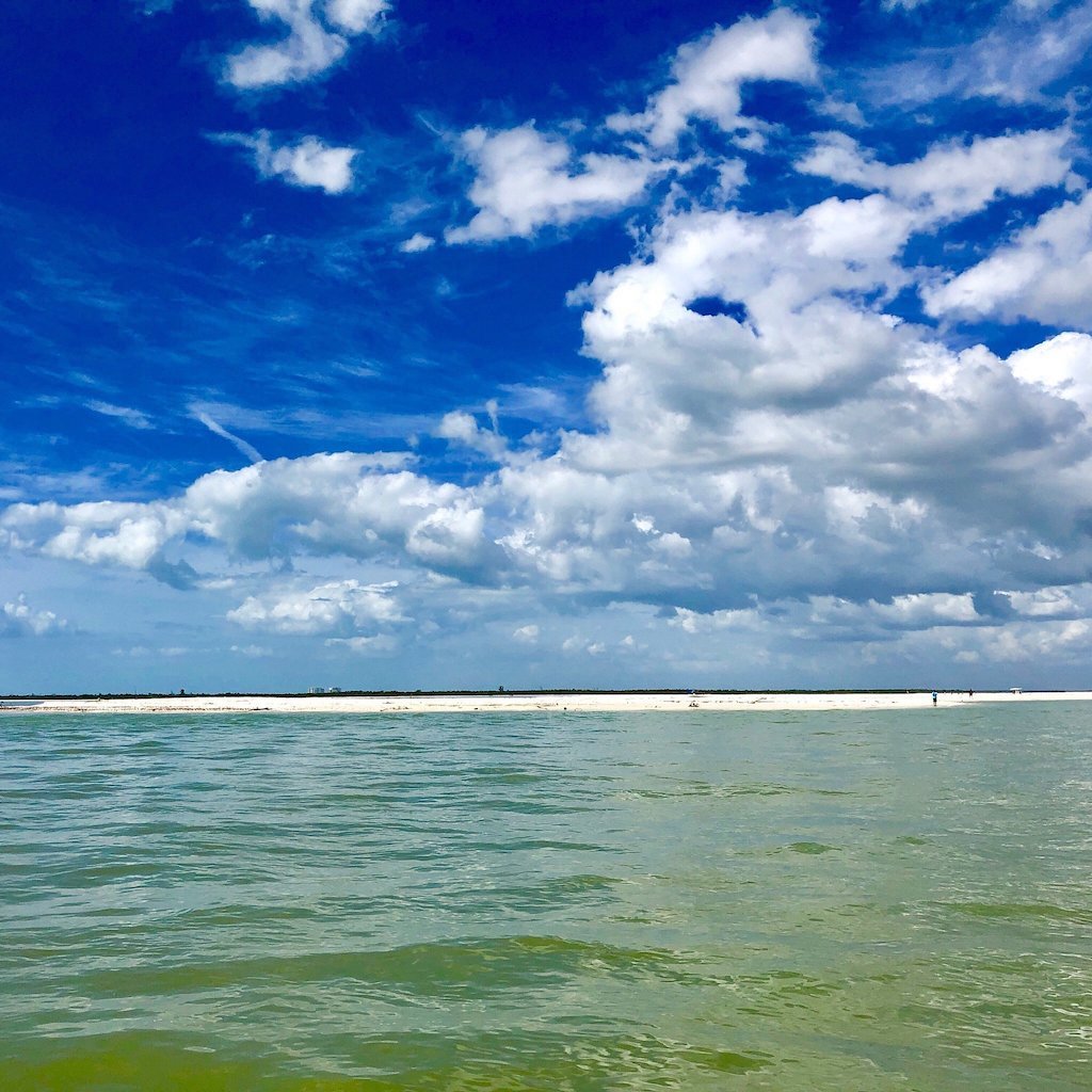
The sandbars around Morgan Pass are the other draw, and they’re genuinely unpredictable — they build, shift and sometimes disappear entirely between one tide cycle and the next, which is part of what keeps this water interesting to captains who’ve run it for years. When one comes up at low tide, our captains usually find whelks, olives, cockles, scallops and other Gulf shells scattered across it alongside the birds working the same bar for a meal — the same species you’d chase on a dedicated shelling tour, just in a different setting. As with every beach and bar we run, it’s empty shells only here — Collier County prohibits taking anything alive, sand dollars and starfish included.
Getting there & what to expect
There’s no public access to Morgan Pass or the Morgan River from land. No bridge, no parking area, no facilities of any kind — this is wilderness water in the Ten Thousand Islands, and the only way in is by boat. That’s true of most of the geography south of Marco Island, and it’s exactly the water our captains specialize in running. It’s the kind of stretch where you won’t pass another boat for long stretches, even on a busy weekend closer to Marco.
Tide matters more here than it does on the open Gulf beaches. Morgan Pass carries a lot less water at dead low, and the sandbars that make it interesting for shelling and birding are the same ones that can leave a boat stranded if you don’t know the cut. Our captains read this water constantly — when to run the pass, when to duck into the river instead, and when a sandbar is worth a stop. It’s exactly the kind of local knowledge that turns a run past Kice and Morgan Island from pretty scenery into a genuinely good dolphin and shelling trip. Ask about a private charter built around Morgan Pass if you want this whole stretch of the northern Ten Thousand Islands to yourself.
| Morgan Pass | Morgan River | |
|---|---|---|
| What it is | The open cut between Kice Island and Cape Romano | The tidal backwater draining behind the cut |
| Water | Open, current-driven, connects to the Gulf | Sheltered, mangrove-lined, calmer in rough weather |
| Best for | Dolphins on the current line; shell sandbars at low tide | Birding, calm-water cruising, connecting to Gullivan Bay |
| Access | Boat-only; no facilities | Boat-only; no facilities |