
🏝️ At a glance
- What it is
- A sugar-sand barrier beach on the seaward (Gulf) rim of Gullivan Bay
- Location
- Northern Ten Thousand Islands, a few miles south of Cape Romano
- Access
- Boat-only — no roads, no bridge
- Facilities
- None: no fresh water, no restrooms, no docks
- Known for
- Primitive beach camping and tideline shelling
- Shelling rule
- Empty shells only — Collier County prohibits taking live shells
What Is Gullivan Key?
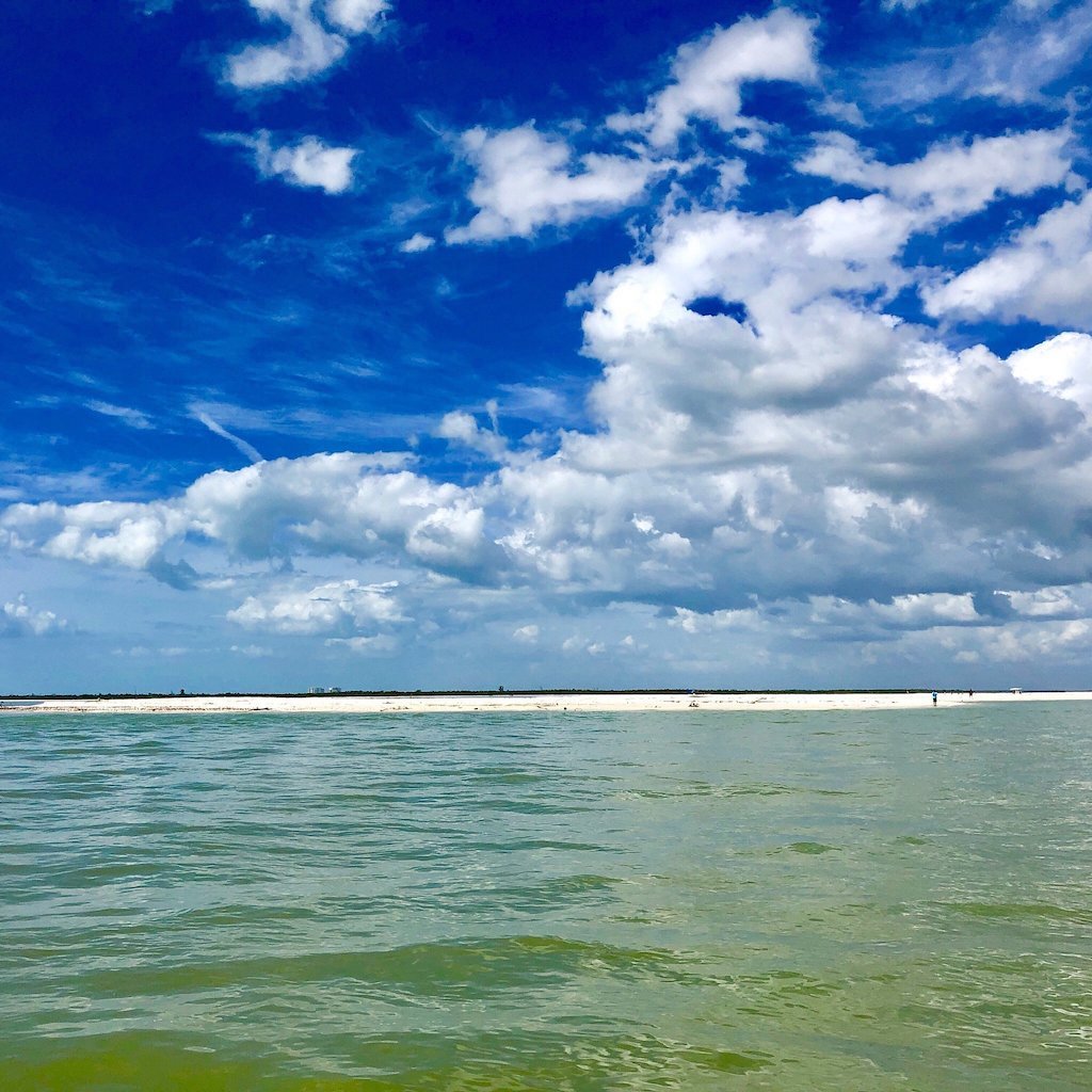
Gullivan Key is one of the low, roadless barrier islands that make up the northern stretch of the Ten Thousand Islands, the maze of mangrove keys and open bays that starts where Marco Island’s paved streets run out. It sits on the outer, Gulf-facing rim of Gullivan Bay, the shallow water body it lends its name to, a few miles south of the sand spit and half-submerged dome-house ruins at Cape Romano. From a chart it looks like a bright crescent of white sand hooked around the bay’s seaward edge; from the deck of a boat running down from Marco or Goodland, it’s usually the first real beach you see once the last rooftops near Cape Romano disappear behind you.
Unlike the barrier islands closer to town, Gullivan Key has never had a bridge, a road, or so much as a boat dock. It belongs to the same roadless, boat-only stretch of coast as its neighbors — Hog Key further out in the bay and the Cape Romano beaches just to the north — and it’s kept the same honest way: come by boat, bring what you need, and take only what Collier County’s shelling rules allow you to take.
Gullivan Bay and Cape Romano
Gullivan Bay itself is a broad, shallow apron of water tucked between Cape Romano and the Morgan River country to the south, rimmed with mangrove keys on its landward side and opened to the Gulf of Mexico through a scatter of small passes along its western edge. It’s part of the same water our captains cross on the way through Gullivan Bay toward the fishing grounds and passes beyond it — skinny, current-fed, and thick with the same snook, redfish and trout structure you’d expect from a bay this shallow and this undeveloped.
Gullivan Key is essentially the bay’s outer wall. When a north or northwest wind is blowing, it’s the beach that takes the swell so the water behind it stays flat calm — which is a big part of why the sand piles up here the way it does, and why the beach tends to hold onto shell after a front works through. Cape Romano sits close enough to the north that on a clear day you can often make out its collapsed, half-submerged dome-house ruins from Gullivan Key’s own sand.
Camping on Gullivan Key
Gullivan Key has long been one of the go-to spots for boat-in and kayak camping in this stretch of the islands, and it’s easy to see why once you’ve stood on it: a wide, gently sloped beach with room to pitch a tent well above the tideline, and an open Gulf horizon for a sunset that doesn’t have another building in it anywhere. Paddlers working the northern Ten Thousand Islands and small-boat campers running down from Marco or Goodland both use it as an overnight stop.
Come prepared, because there’s nothing out here to lean on. No fresh water, no restrooms, no trash cans, and no cell service you should count on. Everything you bring in, you pack back out — trash included. Keep any fire small, contained, and below the high-tide line, and always check current backcountry camping rules before you go, since regulations in the islands can shift season to season. It’s a genuinely wild stretch of Florida beach, which is exactly the draw, and exactly why it rewards a little planning.
Shelling the Tideline
The same wind and wave action that built Gullivan Key’s beach also does the work of turning up shell, and our captains will run a shelling tour down this way when the tide and the season line up right. You’ll find the usual cast of Ten Thousand Islands finds along the tideline and the swash: lightning whelks, fighting conchs, cockles, olives, and the occasional sand dollar — more precisely a keyhole urchin, the flat, five-hole test that’s the local look-alike for the sand dollars people picture from other coasts. Winter cold fronts tend to stir up the best variety here, the same as they do at Kice Island and Cape Romano to the north, though shelling on this stretch of coast is genuinely a year-round game — mornings after a low tide in winter, evenings after a low tide in summer.
One rule travels with you no matter what you find: Collier County allows empty shells only. Anything alive — a shell with its animal still inside, a live keyhole urchin, a live starfish — goes back exactly where you found it. It’s a simple rule, and it’s the reason beaches like Gullivan Key stay this good to shell year after year. For a full rundown on telling live from empty at a glance, our shell ID guides walk through it species by species.
Getting There by Boat
There’s exactly one way to reach Gullivan Key: by water. It’s roughly the same run our captains make on shelling trips that push south past Cape Romano into the northern Ten Thousand Islands, threading skinny water and sandbars that shift with every big blow. If you’re running your own boat, come with local charts, watch your draft on the shoals ringing the bay, and time your approach around the tide — a lot of this water gets thin fast.
If you’d rather let someone else read the water, that’s really the easier way to see this stretch of coast. Our captains run this part of Gullivan Bay routinely, and a trip down this way can be built as a dedicated shelling run or folded into a private charter if you want the whole day to yourself. Either way, you get dropped on a real, uncrowded beach without having to guess your way through the passes.
| Island | Access | Facilities | Best For |
|---|---|---|---|
| Gullivan Key | Boat-only, seaward rim of Gullivan Bay | None | Beach camping, tideline shelling |
| Cape Romano | Boat-only, north of Gullivan Bay | None | Dome-house ruins, sand-spit beachcombing |
| Hog Key | Boat-only, outer Gullivan Bay | None | Quiet shelling, fewer visitors |