
🗺️ At a glance
- Location
- Outer Ten Thousand Islands, on Gullivan Bay, south of Marco Island & Goodland
- Made of
- Oyster bar and shifting sand held together by red mangrove roots
- Size
- Storm-eroded to roughly half its earlier footprint
- Landing
- None to speak of — a bird-and-oyster-bar island best seen from the boat
- Wildlife
- Wading birds and ospreys roost here; bottlenose dolphins often work the nearby bay
- Rule
- No beach to collect on — Collier County’s empty-shells-only rule covers the whole coast
What Is Round Key?
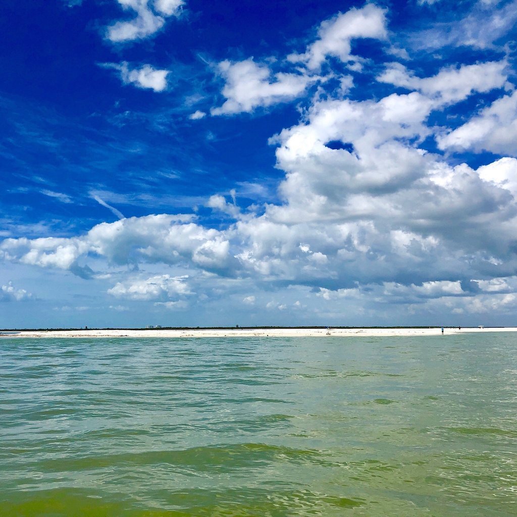
Run south out of Marco Island or Goodland long enough and the chart starts filling up with names most visitors have never heard — White Horse, Camp Lulu, Turtle, Hog, and, tucked along the edge of Gullivan Bay, Round Key. It’s one of dozens of small mangrove-and-oyster keys that make up the outer Ten Thousand Islands, the roadless maze of channels, bays and shell-built islands that spreads south from Marco toward Everglades City. There’s no marina, no dock and no sign out there — Round Key is the kind of place you only find because a captain points across the water and says the name.
Like most of the outer keys in this stretch, Round Key isn’t built on rock or coral. It’s a low, unconsolidated pile of oyster shell and sand, stitched together by red mangrove roots that have colonized the high spots over the decades. That construction makes it beautiful habitat and completely at the mercy of the weather — there’s no bedrock underneath to hold it in place when a storm comes through, which is exactly why it looks different every few years.
Why Round Key Keeps Shrinking
Ask any of our captains who’ve run this water for years and they’ll tell you the same thing: Round Key is roughly half the island it used to be. The Ten Thousand Islands take the first hit from every hurricane that tracks up the Gulf side of Florida, and a key like this one has no elevation and no hard base to fall back on. Storm surge strips the exposed sand, wave action undercuts the mangrove fringe, and whatever the key loses in a single afternoon can take years of calm-weather sediment drift to even partially rebuild.
This coast has taken its share of hits over the past two decades — Wilma, Irma, and most recently Hurricane Ian in 2022, the same storm that toppled the dome houses at nearby Cape Romano into the half-submerged ruins boats pass today. Round Key tells the same story on a smaller scale: a real, ongoing lesson in how a barrier-island coast erodes, rebuilds a little, and erodes again. It’s one of the reasons this stretch of water looks a little different every season, even to captains who’ve run it for decades, and it’s a good reminder that nothing out here is permanent, no matter how solid it looks on a chart.
What You’ll See There
Don’t expect a beach. What Round Key mostly offers is an exposed oyster bar at low tide, a fringe of red mangroves, and the kind of quiet that only comes from an island nobody can walk on. That makes it good, undisturbed habitat — you’ll often spot wading birds working the mudflats and oyster bar, and ospreys using the taller mangroves as a perch to watch for bait. It’s not a rookery you’d plan a whole trip around, but it’s a real working piece of the Ten Thousand Islands ecosystem, and our captains slow down for it when the birds are active.
The water around Round Key is also good dolphin country. Bottlenose dolphins live in these waters year-round and regularly work the flats and passes around Gullivan Bay, chasing bait along the edges where the current runs against the shallows. Nothing is ever guaranteed on the water, but a pass by Round Key on one of our dolphin tours is as good a shot as any at watching them work, and the birds around the oyster bar are usually cooperative even when the dolphins aren’t.
Getting to Round Key
There’s exactly one way to see Round Key: by boat. It sits well off any public boat ramp, out in the wilderness water between Marco Island, Goodland and Everglades City, and there’s nothing to land on when you get there — no dock, no beach, no facilities of any kind. Our captains fold it into select wilderness routes that push out toward Gullivan Bay, timing the run around the tide since some of the connecting cuts in this part of the Ten Thousand Islands get skinny fast.
For most visitors, Round Key is a landmark you pass rather than a destination you book on its own — it comes into view on the way to somewhere else, pointed out by a captain who knows the water well enough to notice it’s shrinking. If you want to see it for yourself, our dolphin tours and private charters that run this outer stretch are the way to go; check the full Destinations hub for the rest of the Ten Thousand Islands water our boats cover.
Round Key vs. Nearby Outer Keys
Round Key is far from the only shifting speck of mangrove and sand out past Gullivan Bay, and it helps to know which keys you can actually walk on and which ones you just admire from the rail. Turtle Key and Gullivan Key both hold real sand beaches worth landing on, while Round Key and its neighbor Hog Key are closer to oyster bars with a mangrove fringe — great to look at, nothing to stand on. Knowing the difference matters if you’re hoping to actually get your feet on sand versus just admiring an island from the boat.
| Key | Can You Land? | What Stands Out | Best Seen On |
|---|---|---|---|
| Round Key | No — oyster bar & mangrove fringe | Storm-shrunk footprint, active bird roost | Dolphin tours, private charters |
| Turtle Key | Yes, a real sand beach | Secluded, undeveloped shelling beach | Shelling tours |
| Gullivan Key | Yes, a wide sugar-sand beach | Popular shelling & primitive camping spot | Shelling tours, private charters |
| Hog Key | No — mostly mangrove fringe | Another shrinking outer key on Gullivan Bay | Wilderness & dolphin runs |
None of these islands are static, and that’s really the point of pointing Round Key out at all. It’s a small, honest example of how this whole coast works — built by tides and storms, reshaped by the next one, never quite the same island twice. Seeing it in person, with a captain who can explain what you’re actually looking at, beats any chart or photo, and it’s the kind of detail that turns a boat ride into a real understanding of how the Ten Thousand Islands hold together.