
🏝️ At a glance
- What it is
- A roadless red-mangrove key in the outer Ten Thousand Islands
- Where
- About five miles off Goodland, at the mouth of a tidal creek near Gullivan Bay
- The beach
- A secluded Gulf-side beach close to a mile long, often empty
- The interior
- A mangrove creek winding back to a hidden, sheltered cove
- Wildlife
- Oyster bars, wading birds at low tide, and dolphins working the nearby pass
- Rule
- Boat access only, no facilities, empty shells only in Collier County
What & Where Is Turtle Key?
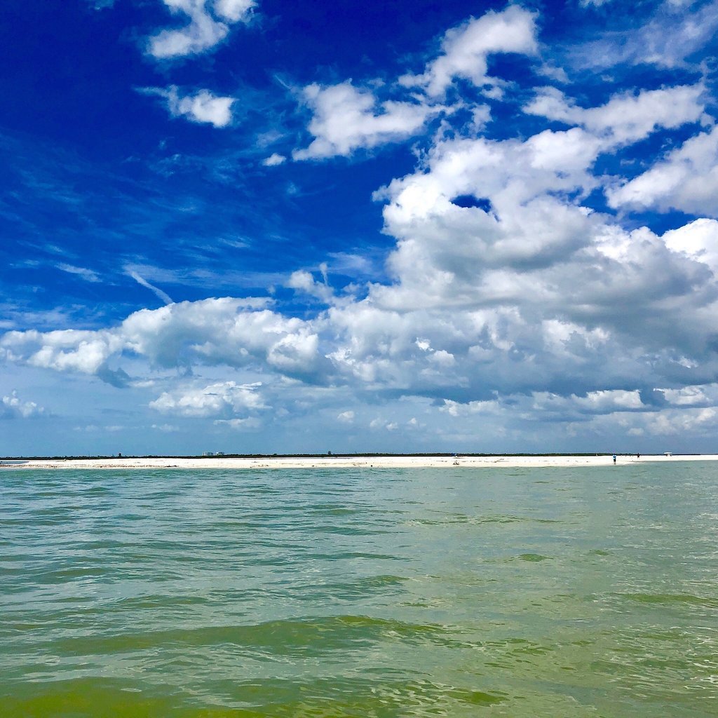
Turtle Key is one of the outer keys in the Ten Thousand Islands, sitting roughly five miles off Goodland at the mouth of a tidal creek that drains into Gullivan Bay. Like most of the outer keys, it’s a red-mangrove island with no road, no bridge and no address — you find it on a chart, not a map app. From open water it reads as a low green line until you’re close enough to make out the pale crescent of sand tucked along its Gulf face.
The geography here is classic Ten Thousand Islands: a maze of mangrove keys, tidal creeks and shallow bays stitched together by cuts like Coon Key Pass, which our captains use to thread between the open Gulf and the calmer water behind the key. Turtle Key isn’t the biggest island out here, and it isn’t the most photographed — but that’s part of why it holds up. Fewer boats find their way this far off the well-worn routes from Marco and Naples, so the beach doesn’t get picked over and the birds don’t scatter the second a hull rounds the point.
The Near-Mile Gulf Beach
The reason our captains run out here is the beach itself — a stretch of sand on Turtle Key’s Gulf side that runs close to a mile when the tide is out, and on a quiet day you can have the whole thing to yourself. It isn’t manicured or raked; it’s a real barrier-island beach, built and rebuilt by the same currents that shape every key in this chain, which means shells wash up the way they’re supposed to — scattered, unpredictable, and worth a slow walk rather than a quick pass.
Turtle Key sits in Collier County, so the rule here is the same as everywhere else we shell: empty shells only. Whelks, cockles, olives and the occasional lightning whelk turn up along the tideline, but if anything’s still occupied, it goes back in the water. We never promise a specific find on any given trip — the Gulf doesn’t work that way — but a beach this lightly walked usually rewards patience more than a crowded one does. If shells are the main draw for you, our shelling tours run out to keys like this one precisely because the sand hasn’t been combed flat by daily foot traffic.
The Mangrove Creek & Hidden Cove
Round the back of Turtle Key and you’ll find the feature that makes it more than just another beach: a tidal creek that cuts into the interior and opens into a hidden cove ringed by red mangroves. It’s a different world back there. The Gulf swell disappears, the water goes flat and tannin-dark, and the loudest thing around is usually a heron flushing off a prop root.
The creek mouth shifts with every storm and every season, so depth and width aren’t something we’ll put a number on — what’s runnable one month can shoal in the next. That’s part of why this stretch of the Ten Thousand Islands rewards a captain who runs it constantly rather than a chart alone. If you’re the kind of traveler who wants to see the water most visitors never reach, this interior cove is exactly that — a quiet, closed-in pocket a few hundred yards from open Gulf but a world away from it in feel.
Oyster Bars, Wading Birds & Dolphins
Turtle Key is ringed with oyster bars, and at low water they break the surface in long dark ridges that stack up wading birds — herons, egrets, ibis and, on a good day, a roseate spoonbill working the exposed flats for a meal. It’s one of the better reasons to time a visit around a dropping tide: the lower the water, the more real estate the birds have to work, and the easier it is to idle past and watch without spooking them.
Out toward the pass, dolphins are a regular part of the scenery. Bottlenose dolphins live in these waters year-round, and our captains often see them working the current through Coon Key Pass or cruising the edge of the flats near Turtle Key looking for an easy meal. We never guarantee a sighting — they’re wild animals on their own schedule — but most trips out this way turn up something, whether it’s a fin cutting the surface or a wood stork lifting off the mangroves. For a deeper look at what else swims and flies through this stretch of coast, browse our wildlife guide.
| Side | What you’ll find | Best for |
|---|---|---|
| Gulf side (west) | Open sand close to a mile long, surf, shell-strewn tideline | Beachcombing, shelling, a swim off the boat |
| Creek & cove (interior) | Tannin-dark water, mangrove tunnels, a sheltered hidden cove | Quiet exploring, birds, calm-water anchoring |
Getting There & What to Bring
There’s exactly one way onto Turtle Key: by boat. No bridge, no causeway, no public dock — you either run your own boat out from Goodland or Marco, or you ride along with a captain who already knows the cuts through Gullivan Bay and the shoals around the creek mouth. Once you’re there, plan on packing in everything you need. There are no restrooms, no fresh water, no shade structures and no trash cans — just sand, mangroves and whatever you brought with you. Sun protection, drinking water and closed-toe shoes for the oyster-bar edges are worth remembering.
Because the beach faces open Gulf, wind and swell make a bigger difference here than they do on the more sheltered bay-side keys, so the best window on any given day depends more on conditions than the calendar. If you’d rather skip the guesswork, book a trip with captains who run this water constantly and already know when it’s calm enough to land. Our shelling tours and private charters both make the run out here when conditions line up, and you can see the rest of what we cover from the Destinations hub.